photo free
Home Images Vectors Videos

Stock vector Illustrated map of the state of West Virginia in United States with cities and landmarks. Editable vector illustration

Stock vector Illustrated map of the state of West Virginia in United States with cities and landmarks. Editable vector illustration
Published: Aug.02, 2018 07:39:36
Author: MioBuono12
Views: 103
Downloads: 3
File type: vector / eps
File size: 1.4 MB
Orginal size: 3000 x 1997 px
Available sizes:
S
(500 x 333)
M
(1000 x 666)
L
(2000 x 1331)
XL
(3000 x 1997)
VECT
(3000 x 1997)
EL0
(3000 x 1997)
Level: bronze
Download Vector
Vector topics:

Similar stock vectors

stock vector West virginia map with capital city

West Virginia Map With Capital City

2300 × 2300
stock vector Colorful vector illustration for American theme with national symbols

Colorful Vector Illustration For American Theme With National Symbols

2480 × 2480
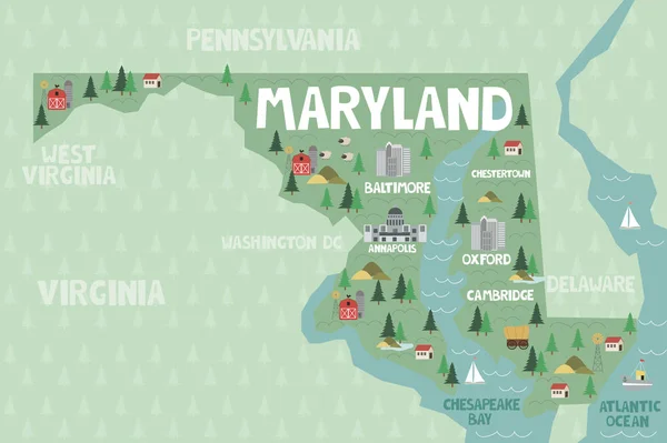
stock vector Illustrated map of the state of Maryland in United States with cities and landmarks. Editable vector illustration

Illustrated Map Of The State Of Maryland In United States With Cities And Landmarks. Editable Vector Illustration

3000 × 1997
stock vector West Virginia map, blue white card paper 3D vector

West Virginia Map, Blue White Card Paper 3D Vector

4677 × 3900
stock vector West Virginia map Us state poster with regions Shape of West Virginia with us state name

West Virginia Map Us State Poster With Regions Shape Of West Virginia With Us State Name

5159 × 5815