Home
Images
Vectors
Videos
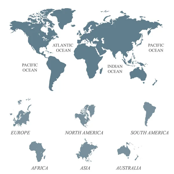
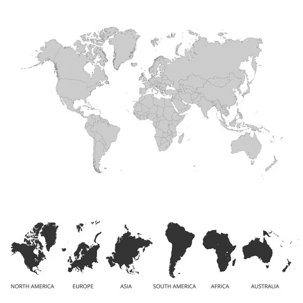
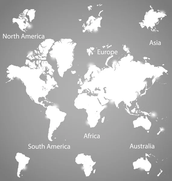
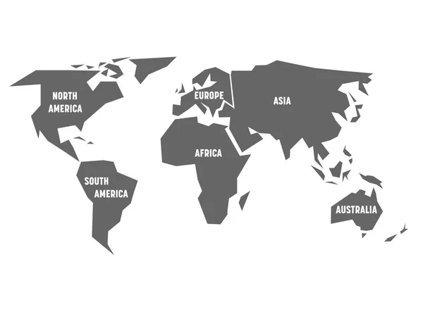
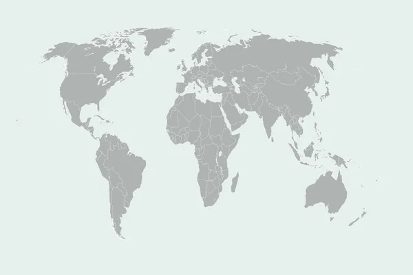
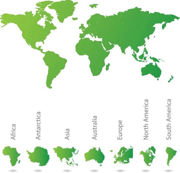
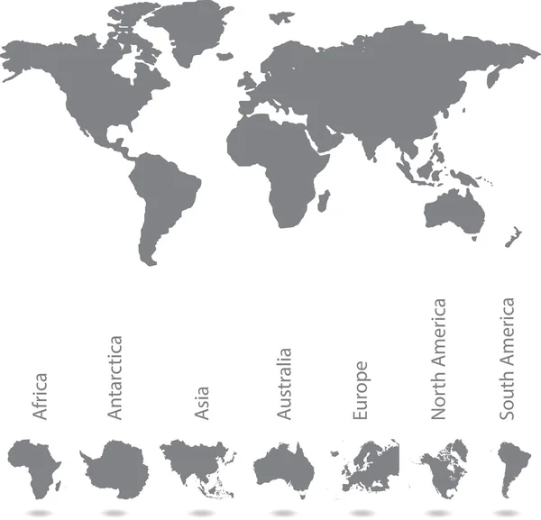
Stock vector Illustrated map of the world with all continents
Published:
Aug.26, 2014 08:51:13
Author:
PaulStringer
Views:
1774
Downloads:
78
File type:
vector
/
eps
File size:
8.82 MB
Orginal size:
5869
x
5648
px
Available sizes:
S
(500 x 481)
M
(1000 x 962)
L
(2000 x 1925)
XL
(5869 x 5648)
VECT
(5869 x 5648)
EL0
(5869 x 5648)
Level:
bronze
Download Vector
Vector topics:
White
Background
Illustration
Copy
Space
Isolated
Clipping
Dimensional
Path
Black
African
Concept
Two
With
Internet
Drawing
Earth
World
Code
Binary
Relief
North
Europe
South
Illustrated
Outline
Map
Cartography
Geography
Africa
Continent
Asia
Continental
Terrain
America
Australia
Borders
Of
All
The
Continents
Atlas
Antarctica
An
Nation
2d
Mapping
Illustrative
Geo
Continentes
Similar stock vectors
Blank Grey World Map Isolated On White Background
4267 × 4267
World Map Colorful. Vector Illustration.
4167 × 4167
Modern Globes And World Map, Vector Illustration.
3958 × 4167
Simplified Grey Silhouette Of World Map Divided To Six Continents. Simple Flat Vector Illustration On White Background
8000 × 6000
World Map Colorful. Vector Illustration.
4167 × 4167
World Flat Earth Country Map Illustrated In Grey And Light Blue.
5472 × 3648
Illustrated Map Of The World With All Continents
5869 × 5648
Illustration Of Very Fine Outline Of The World (with Country Bor
6250 × 6250