Home
Images
Vectors
Videos
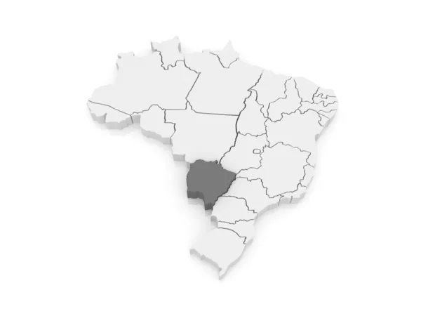
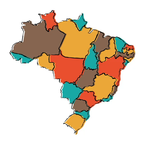
Stock vector Illustration of a map of Brazil with the center-west region highlighted
Published:
Oct.25, 2018 09:14:36
Author:
luisrftc
Views:
61
Downloads:
2
File type:
vector
/
eps
File size:
8.14 MB
Orginal size:
5000
x
5000
px
Available sizes:
S
(500 x 500)
M
(1000 x 1000)
L
(2000 x 2000)
XL
(5000 x 5000)
VECT
(5000 x 5000)
EL0
(5000 x 5000)
Level:
bronze
Download Vector
Vector topics:
Green
Color
Vector
Element
Illustration
Isolated
Travel
Detail
Silhouette
Border
Gray
Icon
Center
Contour
Drawing
Rectangle
American
Outline
Country
District
West
Map
Cartography
Geography
Area
National
Continent
Land
State
Emblem
Location
America
Boundary
Administrative
Region
Latin
Brazil
Federal
Territory
Atlas
Province
Mapping
Brazilian
Geographical
Mato
Goias
Grosso
Similar stock vectors
Illustration Of A Map Of Brazil With The North Region Highlighted
5000 × 5000
Illustration Of A Map Of Brazil With The Southeast Region Highlighted
5000 × 5000
Illustration Of A Map Of Brazil With The Northeast Region Highlighted
5000 × 5000
Brazil Map - Vector Solid Contour And State Regions. Illustration
5209 × 5209
Brazil States Map
5000 × 5000
Map Of Mato Grosso Do Sul. Brazil.
5600 × 4200
Political Map Of Brazil
5315 × 5315