Home
Images
Vectors
Videos
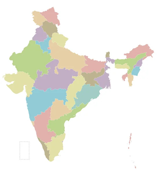
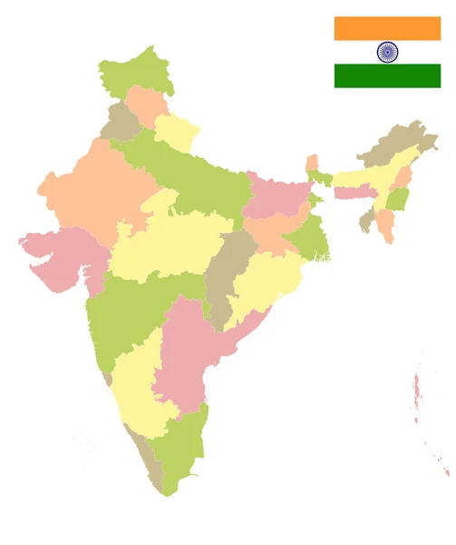
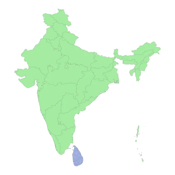
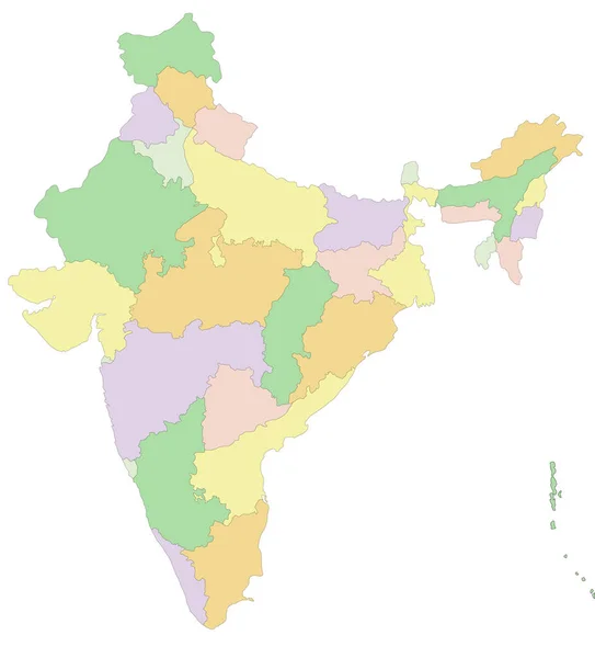
Stock vector India - Highly detailed editable political map.
Published:
Feb.02, 2022 09:15:10
Author:
delpieroo
Views:
59
Downloads:
0
File type:
vector
/
eps
File size:
5.66 MB
Orginal size:
4182
x
4620
px
Available sizes:
S
(453 x 500)
M
(905 x 1000)
L
(1810 x 2000)
XL
(4182 x 4620)
VECT
(4182 x 4620)
EL0
(4182 x 4620)
Level:
bronze
Download Vector
Vector topics:
Blue
Vector
Background
Colored
Illustration
Label
New
Travel
Sea
Road
Pastel
City
Contour
Ocean
Capital
North
East
Asian
South
Outline
Country
Map
Cartography
Geography
National
Pacific
Continent
Land
Asia
Topography
Island
Political
Politics
India
Geographic
Delhi
Region
Indian
Editable
Territory
Atlas
Mapping
Rupee
Himalayas
Rivers
Shaded
Kolkata
Mumbai
Ganges
K2
Similar stock vectors
Highly Detailed Editable Political Map With Separated Layers. India.
4182 × 4620
Vector Blank Map Of India With States And Territories And Administrative Divisions. Editable And Clearly Labeled Layers.
4250 × 4675
High Quality Political Map Of India And Pakistan With Borders Of The Regions Or Provinces. Vector Illustration
4000 × 4000
India Political Map. Isolated On White. No Text. Vector Illustration.
4000 × 4770
High Quality Political Map Of India And Bangladesh With Borders Of The Regions Or Provinces. Vector Illustration
4000 × 4000
High Quality Political Map Of India And Sri Lanka With Borders Of The Regions Or Provinces. Vector Illustration
4000 × 4000
Map Of India States
4520 × 4525
India Map With Federal States. Flat Vector
7000 × 7000