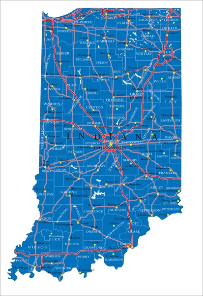
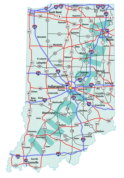
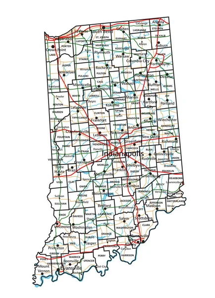
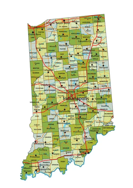
Stock vector Indiana state detailed editable map

Published: Dec.07, 2020 12:18:24
Author: olinchuk
Views: 2
Downloads: 0
File type: vector / eps
File size: 0.83 MB
Orginal size: 5104 x 7265 px
Available sizes:
Level: gold