Home
Images
Vectors
Videos
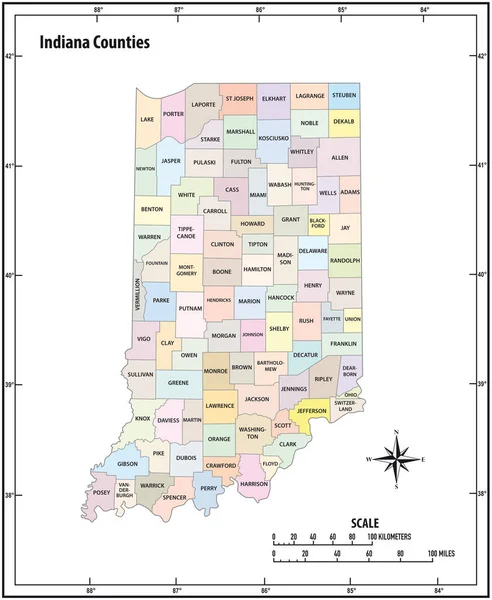
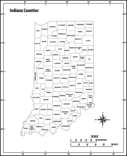
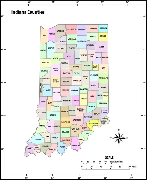
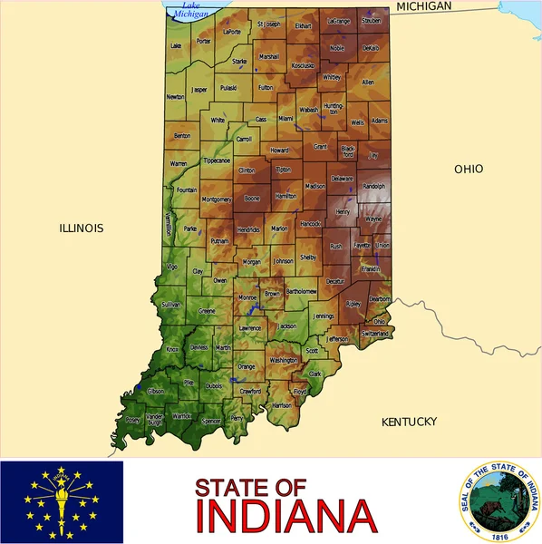
Stock vector Indiana state outline administrative and political vector map in black and white
Published:
May.29, 2020 08:46:59
Author:
Lesniewski
Views:
0
Downloads:
0
File type:
vector
/
eps
File size:
1.06 MB
Orginal size:
3100
x
3780
px
Available sizes:
S
(410 x 500)
M
(820 x 1000)
L
(1640 x 2000)
XL
(3100 x 3780)
VECT
(3100 x 3780)
EL0
(3100 x 3780)
Level:
bronze
Download Vector
Vector topics:
White
Vector
Graphic
Illustration
Design
Isolated
Travel
Abstract
Black
Border
Contour
Scale
American
Usa
Detailed
Outline
Country
District
Map
Cartography
Geography
State
Topography
Location
America
Countries
Borders
Political
Administrative
United
Region
Kilometer
Mile
Territory
Administration
Province
Nation
Indiana
County
Mapping
Coordinates
Coordinate
Counties
Infographic
North America
United States
United States Of America
North Arrow
Compass Card
Similar stock vectors
Indiana State Outline Administrative And Political Vector Map In Color
3100 × 3780
Indiana State Outline Administrative And Political Vector Map In Black And White
3897 × 4000
Indiana State Outline Administrative And Political Vector Map In Color
3897 × 4000
Indiana County Map
3337 × 5000
Illinois State Outline Administrative And Political Vector Map In Black And White
3100 × 3613
Iowa State Outline Administrative And Political Vector Map In Color
5097 × 4277
Ohio State Outline Administrative And Political Vector Map In Black And White
3100 × 3651
Indiana Counties Emblem Map
4019 × 4025