Home
Images
Vectors
Videos
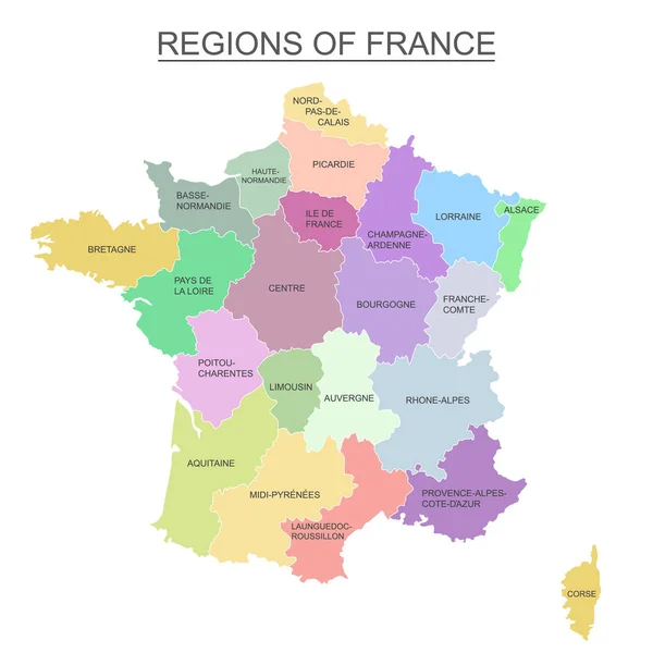
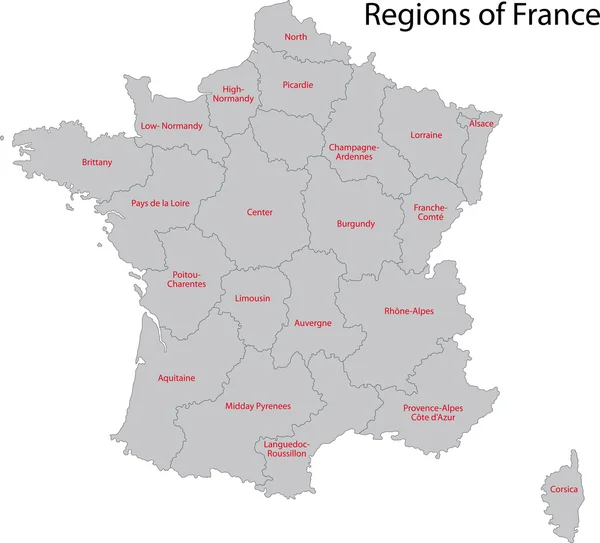
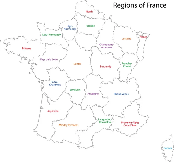
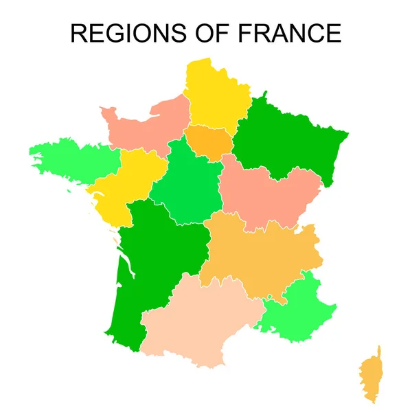
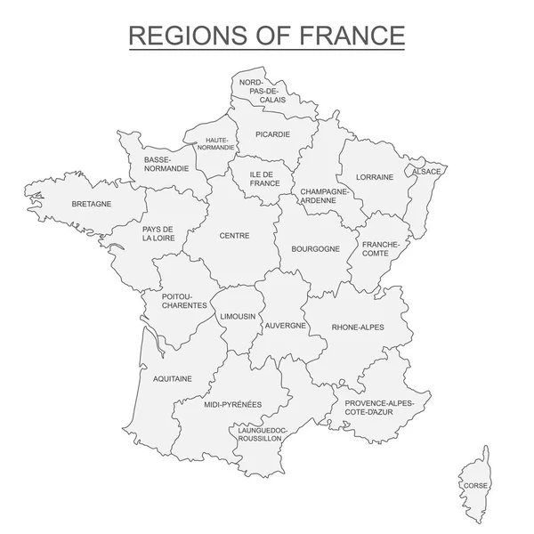
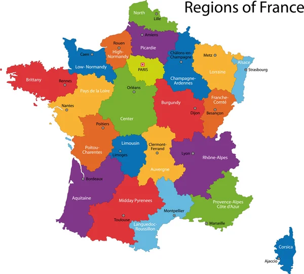
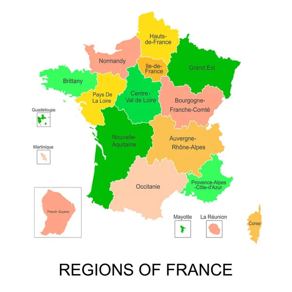
Stock vector Interactive map of metropolitans French regions with 5 overseas regions
Published:
Oct.16, 2018 14:17:42
Author:
klerik78
Views:
119
Downloads:
0
File type:
vector
/
eps
File size:
3.3 MB
Orginal size:
4167
x
4167
px
Available sizes:
S
(500 x 500)
M
(1000 x 1000)
L
(2000 x 2000)
XL
(4167 x 4167)
VECT
(4167 x 4167)
EL0
(4167 x 4167)
Level:
bronze
Download Vector
Vector topics:
Color
Vector
Background
Colorful
Illustration
Design
Travel
Abstract
European
French
Border
France
Tourism
Europe
Outline
Country
Map
Cartography
Geography
National
Political
Administrative
Union
United
Republic
Department
Region
Main
Province
Reunion
Areas
Corsica
Provinces
Guyana
Martinique
Guadeloupe
Lyon
Labelled
Mayotte
United Labelled
Similar stock vectors
Interactive Colorful Map Of Metropolitans French Regions On White Background
4167 × 4167
Grey France Map
7987 × 7228
Outline France Map
5154 × 4788
Colorful Outlines Map Of France With Names On White Background
4167 × 4167
Black Outlines Map Of France With Names On White Background
4167 × 4167
Interactive Map Of Metropolitans French Regions On White Background
4167 × 4167
Colorful France Map
5202 × 4706
France Map, New Political Detailed Map, Separate Individual Regions, With State Names, Isolated On White Background 3D Vector
4000 × 4000