Home
Images
Vectors
Videos
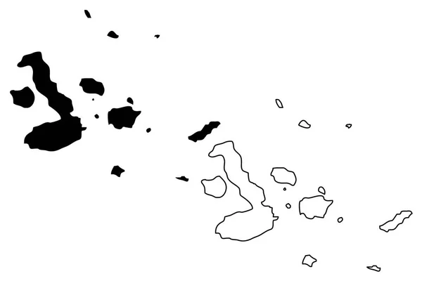
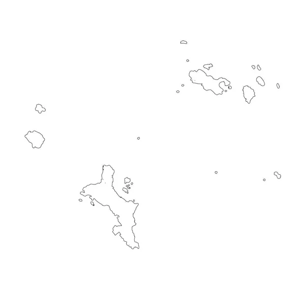
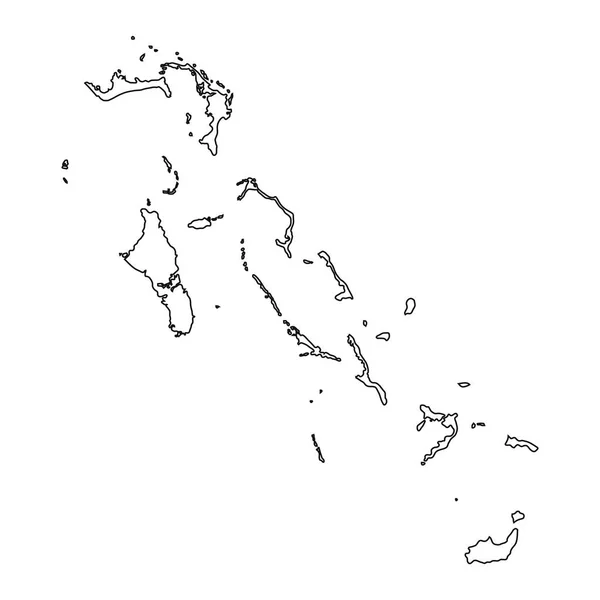
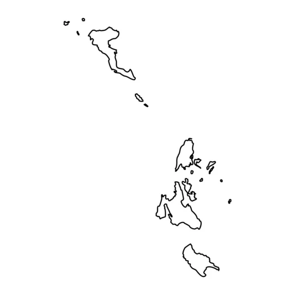
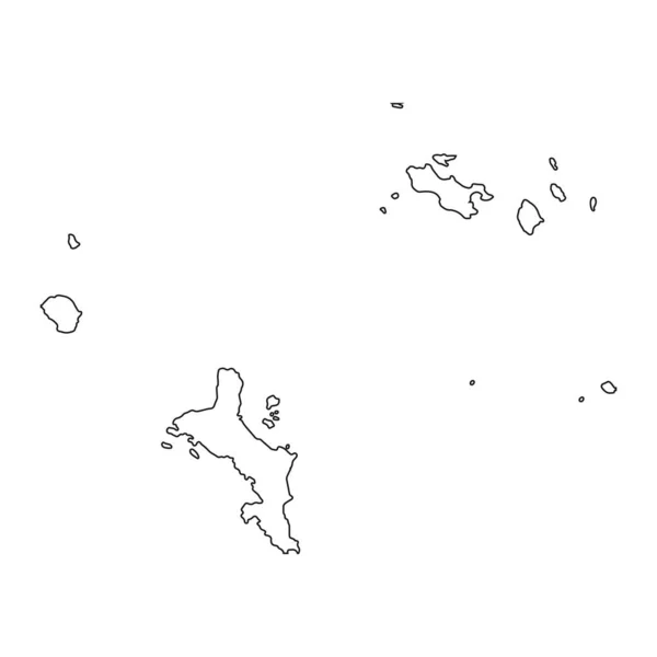
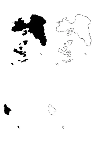
Stock vector Ionian islands region map, administrative region of Greece. Vector illustration.
Published:
Jun.26, 2023 08:42:35
Author:
majborodinruslan1990.icloud.com
Views:
1
Downloads:
0
File type:
vector
/
eps
File size:
5.45 MB
Orginal size:
8334
x
8334
px
Available sizes:
S
(500 x 500)
M
(1000 x 1000)
L
(2000 x 2000)
XL
(8334 x 8334)
VECT
(8334 x 8334)
EL0
(8334 x 8334)
Level:
beginner
Download Vector
Vector topics:
Vector
Graphic
Illustration
Design
Isolated
Sign
Texture
Line
Silhouette
Border
Banner
Symbol
Icon
Contour
Simple
Drawing
Template
Detailed
Capital
Outline
Country
District
Map
Cartography
Geography
Area
National
Greece
State
Chart
Topography
Boundary
Political
Administrative
Eu
Region
Division
Federal
Territory
Atlas
Province
County
Mapping
Canton
Cut Out
Ionian Islands
Similar stock vectors
Bahamas Linear Map On A White Background. Vector Illustration
4167 × 4167
Highly Detailed Seychelles Map With Borders Isolated On Background
4000 × 4000
Attica Region (Greece, Hellenic Republic, Hellas) Map Vector Illustration, Scribble Sketch Attica Map
4725 × 7088
Papua New Guinea - Solid Black Outline Border Map Of Country Area. Simple Flat Vector Illustration
6000 × 6000
Galapagos Islands Map Vector
7087 × 4724
Vector Map Seychelles And Victoria. Isolated Vector Illustration. Black On White Background. EPS 10 Illustration.
5000 × 5000
High Detailed Vector Map Bahamas
8334 × 8334
Map Seychelles And Victoria. Isolated Illustration. Black On White Background.
5000 × 5000