Home
Images
Vectors
Videos
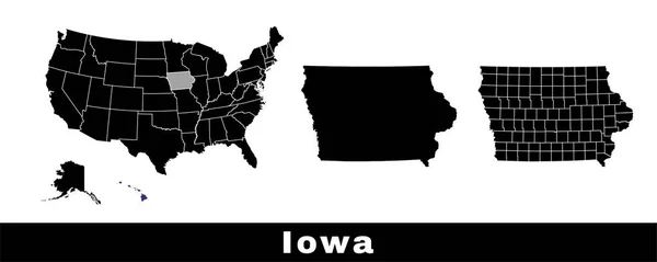
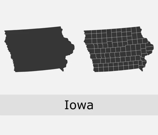
Stock vector Iowa vector maps counties, townships, regions, municipalities, departments, borders
Published:
Jan.31, 2020 15:55:09
Author:
Litteralis
Views:
0
Downloads:
0
File type:
vector
/
eps
File size:
5.25 MB
Orginal size:
4705
x
4045
px
Available sizes:
S
(500 x 430)
M
(1000 x 860)
L
(2000 x 1719)
XL
(4705 x 4045)
VECT
(4705 x 4045)
EL0
(4705 x 4045)
Level:
bronze
Download Vector
Vector topics:
Color
Vector
Background
Graphic
Isolated
Shape
Line
Silhouette
Border
Lines
Contour
Grey
American
Us
Usa
Country
Map
Geography
Area
National
Land
State
America
Boundary
Government
Political
Administrative
Official
Territory
Nation
County
Divisions
Iowa
Regional
Towns
Provinces
Regions
Counties
Departments
Municipalities
United States
Townships
Des Moines
Vector Map
Iowa Map
Iowa Vector
Iowa Municipalities
Iowa Administrative
Iowa County
Similar stock vectors
Kansas Vector Maps Counties, Townships, Regions, Municipalities, Departments, Borders
4705 × 4045
Dotted Map Of The State Iowa. Vector Illustration.
6000 × 6000
Nebraska Vector Maps Counties, Townships, Regions, Municipalities, Departments, Borders
4732 × 4069
United States, Iowa. Dark Blue Silhouette Of The State On Its Borders.
8334 × 8334
Map Of Iowa State, USA. Set Of Iowa Maps With Outline Border, Counties And US States Map. Black And White Color Vector Illustration.
6503 × 2601
Iowa State Map Outline Glitch Icon. Vector Illustration.
4960 × 4723
Illustrated Shape Of The State Of Iowa
3125 × 3125
Minnesota Counties Vector Map
4736 × 4072