Home
Images
Vectors
Videos
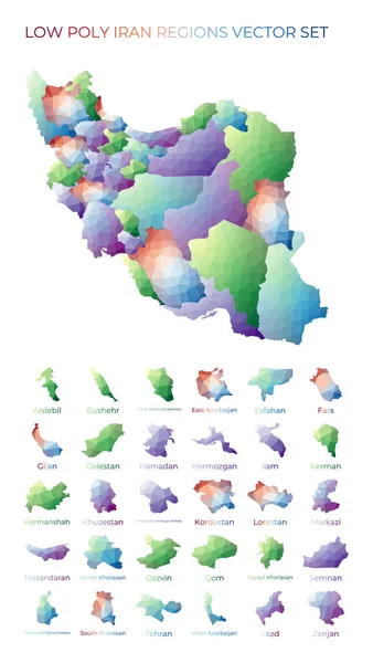
Stock vector Iranian low poly regions Polygonal map of Iran with regions Geometric maps for your design Modern
Published:
Jun.22, 2020 08:54:37
Author:
gagarych
Views:
3
Downloads:
0
File type:
vector
/
eps
File size:
2.49 MB
Orginal size:
4115
x
7295
px
Available sizes:
S
(282 x 500)
M
(564 x 1000)
L
(1128 x 2000)
XL
(4115 x 7295)
VECT
(4115 x 7295)
EL0
(4115 x 7295)
Level:
bronze
Download Vector
Vector topics:
Triangle
Vector
Background
Graphic
Element
Illustration
Design
Diamond
Isolated
Travel
Abstract
Silhouette
Border
Card
Flag
Banner
Symbol
Creative
Digital
Contour
Information
Presentation
Gradient
Geometric
Mesh
Journey
Outline
Country
Map
Geography
Asia
Low
Location
Boundary
Unity
Republic
Islamic
Democrat
Southern
Tehran
Citizen
Trotting
Iranian
Polygon
Iran
Polygonal
Poly
Infographic
Iran Map
Low Poly
Similar stock vectors
Afghan Low Poly Regions Polygonal Map Of Afghanistan With Regions Geometric Maps For Your Design
4098 × 7377
Set Of Vector Polygonal Iran, Islamic Republic Of Maps.
8333 × 8333
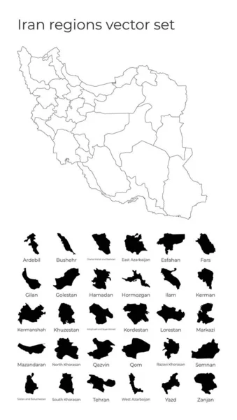
Iran Map With Shapes Of Regions Blank Vector Map Of The Country With Regions Borders Of The
4132 × 7290
Iran Map In Geometric Polygonal Style. Abstract Gems Triangle.
4525 × 6399
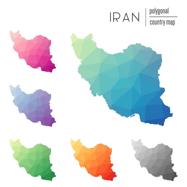
Set Of Vector Polygonal Maps Of Iran Bright Gradient Map Of Country In Low Poly Style Multicolored
5235 × 5758
Iran Higt Detailed Map With Subdivisions. Administrative Map Of Iran With Districts And Cities Name, Colored By States And Administrative Districts. Vector Illustration.
5000 × 4000
Turkmen Low Poly Regions Polygonal Map Of Turkmenistan With Regions Geometric Maps For Your
4476 × 6738
Iran Handdrawn Map Colourful Sketchy Country Outline Magnificent Iran Map With Provinces Vector
5485 × 5485