Home
Images
Vectors
Videos
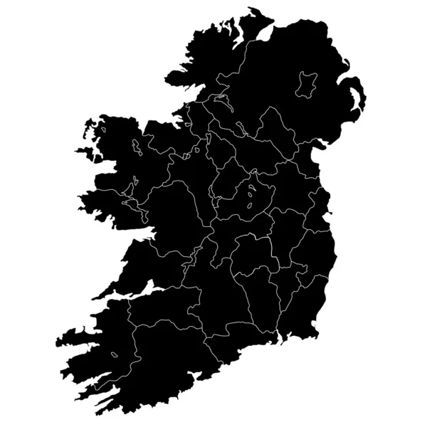
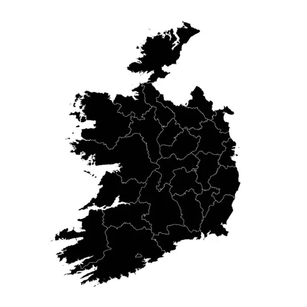
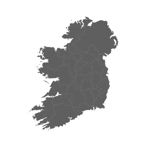
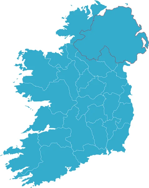
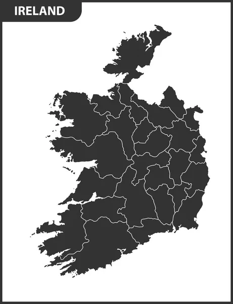
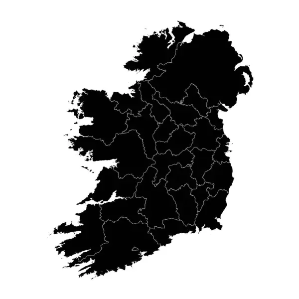
Stock vector Ireland map with counties and Northern Ireland. Vector illustration.
Published:
May.30, 2023 10:26:07
Author:
majborodinruslan1990.icloud.com
Views:
0
Downloads:
0
File type:
vector
/
eps
File size:
7.54 MB
Orginal size:
8334
x
8334
px
Available sizes:
S
(500 x 500)
M
(1000 x 1000)
L
(2000 x 2000)
XL
(8334 x 8334)
VECT
(8334 x 8334)
EL0
(8334 x 8334)
Level:
beginner
Download Vector
Vector topics:
Vector
Graphic
Illustration
Design
Isolated
Sign
Texture
Line
Silhouette
Border
Banner
Symbol
Icon
Contour
Simple
Drawing
Template
Detailed
Capital
Europe
Outline
Country
District
Map
Cartography
Geography
Area
National
Ireland
State
Chart
Topography
Boundary
Political
Administrative
Region
Division
Federal
Territory
Atlas
Province
County
Mapping
Canton
Cut Out
Northern Ireland
Similar stock vectors
Ireland
3874 × 3874
Ireland Map With Counties. Vector Illustration.
8334 × 8334
Ireland Map On White Background. Vector Illustration.
4584 × 4167
Vector Illustration Of Grey Ireland Map. Vector Map.
4500 × 4500
Provinces On Map Of Ireland
4456 × 4056
Map Of Ireland
6625 × 8341
The Detailed Map Of The Ireland With Regions Or States
5000 × 6500
Ireland Map City Icon
4505 × 4518