Home
Images
Vectors
Videos
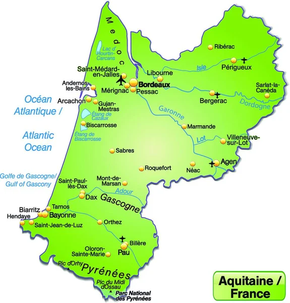
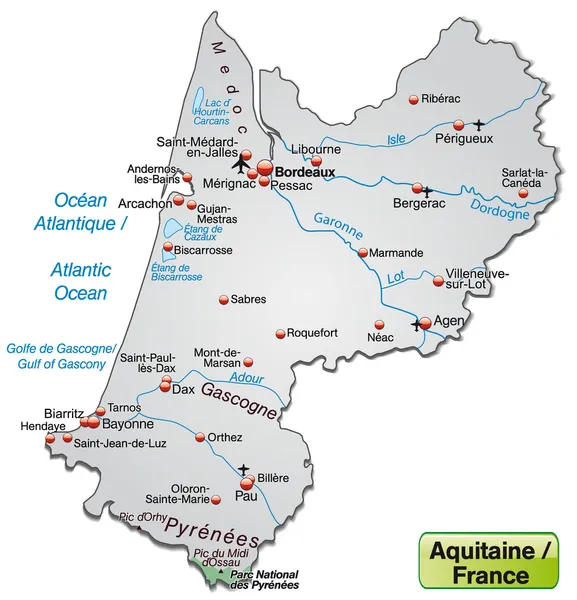
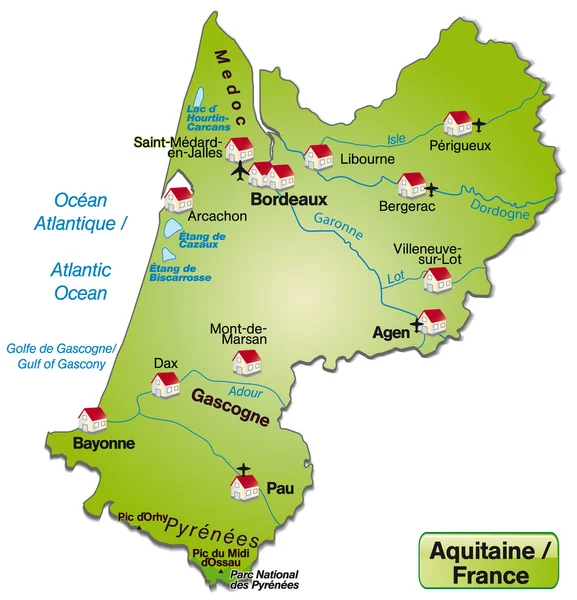
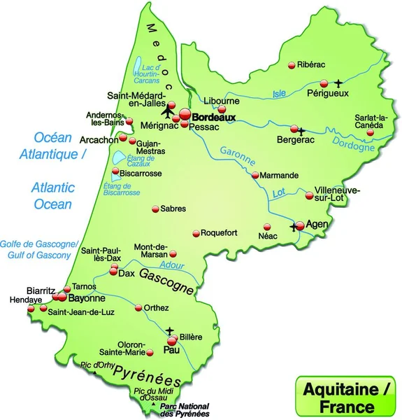
Stock vector Island map of Aquitaine, map
Published:
Jul.29, 2020 14:51:02
Author:
PantherMediaSeller
Views:
14
Downloads:
0
File type:
vector
/
zip
File size:
0 MB
Orginal size:
6960
x
7264
px
Available sizes:
S
(479 x 500)
M
(958 x 1000)
L
(1916 x 2000)
XL
(6960 x 7264)
VECT
(6960 x 7264)
EL0
(6960 x 7264)
Level:
platinum
Download Vector
Vector topics:
Green
Vector
Background
Illustration
Design
Model
Card
Backdrop
Concept
Data
Information
Project
France
Draft
Address
Map
Cartography
Geography
Plan
Knowledge
Borders
Island
Geographic
Atlas
Orientation
Facts
Informations
Isle
Geographical
Map Of The World
Web Design
Vector Graphics
Mapper
Substratums
Plan Of Site
Similar stock vectors
Aquitaine In France As An Island Map (the Dagestellte Field Is Optional) With All Important Topographical Information In Gray. The Appealing Design,the Card Fits In Perfectly With Your Intentions.
6960 × 7264
Aquitaine In France As An Island Map (the Area Is Optional) With All Important Topographic Information In Pastel Orange. Thanks To Its Appealing Design,the Card Fits Perfectly Into Your Project.
6960 × 7264
Map Of Aquitaine
4016 × 4172
Map Of Aquitaine
4016 × 4172
Aquitaine In France As An Island Map (the Dagestellte Field Is Optional) With All Major Topographical Information In Green. The Appealing Design Of The Card Fits In Perfectly With Your Intentions.
6960 × 7264
Map Of Aquitaine
4016 × 4172
Map Of Aquitaine
4016 × 4172
Map Of Aquitaine
4016 × 4172