Home
Images
Vectors
Videos
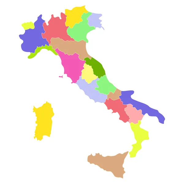
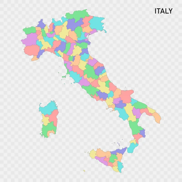
Stock vector Isolated colored map of Italy with borders of the regions
Published:
Jun.14, 2023 20:09:59
Author:
grebeshkovmaxim@gmail.com
Views:
4
Downloads:
0
File type:
vector
/
eps
File size:
3.32 MB
Orginal size:
4000
x
4000
px
Available sizes:
S
(500 x 500)
M
(1000 x 1000)
L
(2000 x 2000)
XL
(4000 x 4000)
VECT
(4000 x 4000)
EL0
(4000 x 4000)
Level:
silver
Download Vector
Vector topics:
Color
Blue
Vector
Background
Colorful
Graphic
Colored
Illustration
Label
Travel
Border
City
Contour
Simple
Italy
Italian
Detailed
Capital
Name
Country
Map
Cartography
Geography
National
Continent
Land
State
Topography
Boundary
Political
Administrative
Geographic
Region
Division
Territory
Atlas
Province
Nation
County
Labeled
Similar stock vectors
Isolated Colored Map Of Italy With Borders Of The Provinces
4000 × 4000
Map Of Italy, Lecco
5394 × 6295
Map Of Italy, Bolzano
5394 × 6583
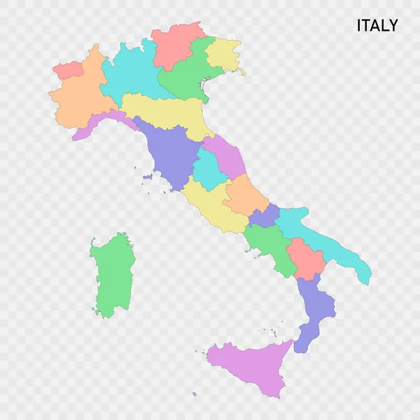
Vector Blank Map Of Italy With Regions And Administrative Divisions. Editable And Clearly Labeled Layers.
4000 × 4725
Italy Administrative Map With Flag
4424 × 5628
Italy Line Map Drawing - Vector Editable High Quality Illustration Isolated On White Background
3500 × 3500
Italy Map
5000 × 5000
Map Of Italy
5724 × 6811