Home
Images
Vectors
Videos
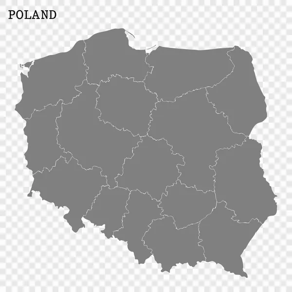
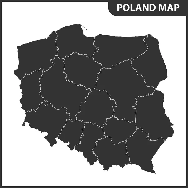
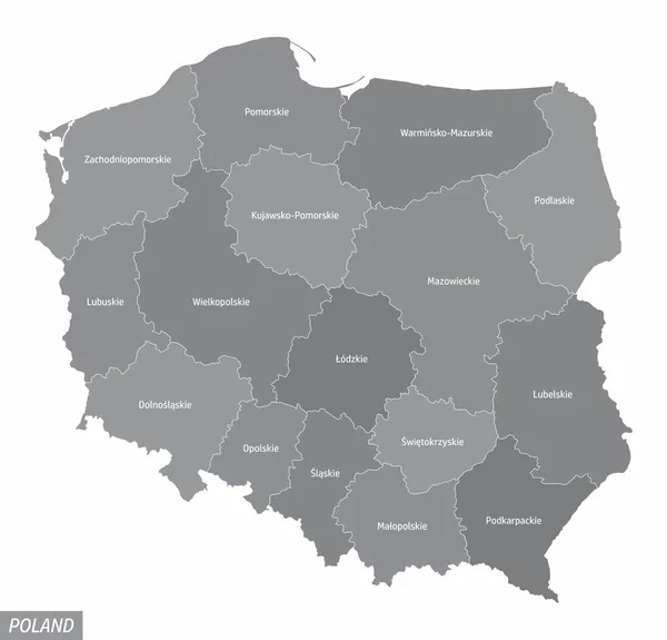
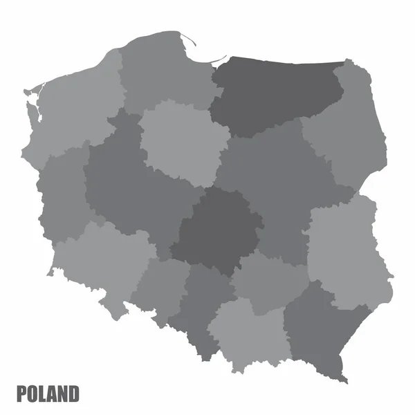
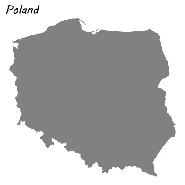
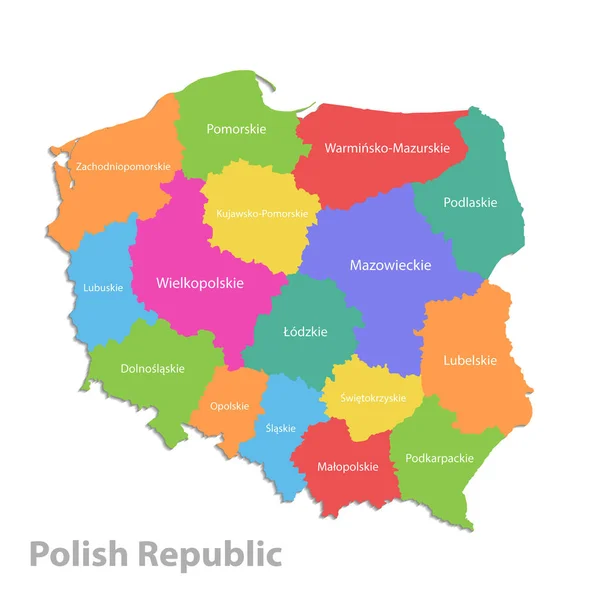
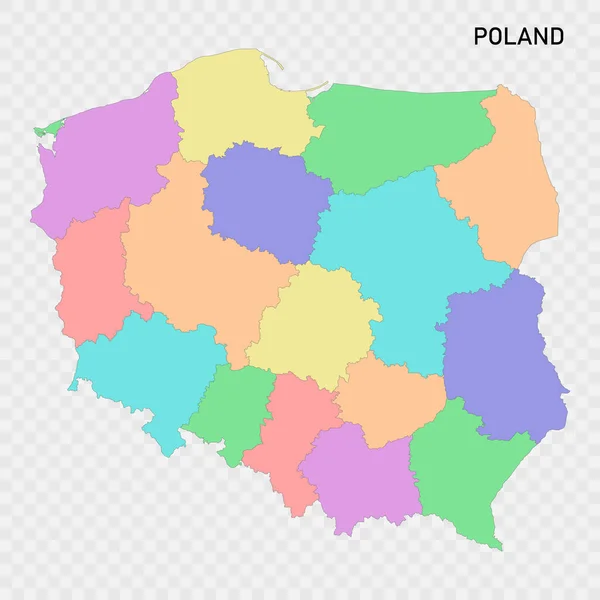
Stock vector Isolated colored map of Poland with borders of the regions
Published:
Jun.14, 2023 20:09:44
Author:
grebeshkovmaxim@gmail.com
Views:
3
Downloads:
0
File type:
vector
/
eps
File size:
3.06 MB
Orginal size:
4000
x
4000
px
Available sizes:
S
(500 x 500)
M
(1000 x 1000)
L
(2000 x 2000)
XL
(4000 x 4000)
VECT
(4000 x 4000)
EL0
(4000 x 4000)
Level:
silver
Download Vector
Vector topics:
Color
Blue
Vector
Background
Colorful
Graphic
Colored
Illustration
Label
Travel
Border
City
Contour
Simple
Detailed
Capital
Name
Polish
Country
Map
Cartography
Geography
National
Continent
Land
State
Topography
Boundary
Political
Administrative
Geographic
Region
Division
Poland
Territory
Atlas
Province
Nation
County
Labeled
Similar stock vectors
High Quality Map With Borders
4000 × 4000
The Detailed Map Of Poland With Regions Or States
5500 × 5500
The Administrative Map Of Poland Isolated On White Background
5000 × 4800
Poland Map Vector Illustration
3727 × 2788
Poland Administrative Map
5001 × 5001
High Quality Map Of Poland . Vector Illustration
4000 × 4000
Poland Map Line, Linear Thin Vector. Poland Simple Map And Flag.
3543 × 3543
Poland Map, Administrative Division Polish Republic, Separate Individual States With State Names, Color Map Isolated On White Background
4000 × 4000