Home
Images
Vectors
Videos
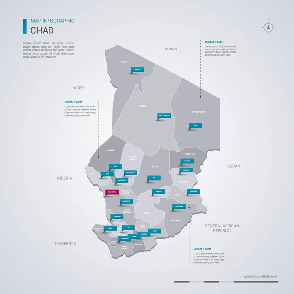
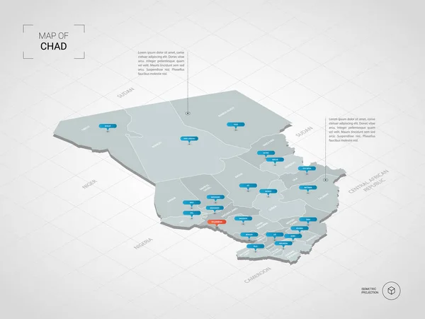
Stock vector Isometric 3D Chad map. Stylized vector map illustration with cities, borders, capital, administrative divisions and pointer marks; gradient background with grid.
Published:
Oct.01, 2018 06:49:44
Author:
molokowall
Views:
0
Downloads:
0
File type:
vector
/
eps
File size:
1.78 MB
Orginal size:
4000
x
3000
px
Available sizes:
S
(500 x 375)
M
(1000 x 750)
L
(2000 x 1500)
XL
(4000 x 3000)
VECT
(4000 x 3000)
EL0
(4000 x 3000)
Level:
bronze
Download Vector
Vector topics:
Color
White
Blue
Vector
Background
Circle
Illustration
Design
Isolated
Travel
Orange
Border
3d
Symbol
City
Contour
Education
World
Grid
Town
Identity
Country
Map
Cartography
Geography
National
Continent
Land
State
Poster
Topography
Location
Political
Politics
Geographic
Region
Territory
Atlas
Nation
Isometric
Mapping
Chad
Infographic
Travel Map
Vector Map
3d Map
Chad Map
Isometric Map
Pointer Marks
Similar stock vectors
Isometric 3D Democratic Republic Of The Congo Map. Stylized Vector Map Illustration With Cities, Borders, Capital, Administrative Divisions And Pointer Marks; Gradient Background With Grid.
4000 × 3000
Isometric 3D Iraq Map. Stylized Vector Map Illustration With Cities, Borders, Capital, Administrative Divisions And Pointer Marks; Gradient Background With Grid.
4000 × 3000
Chad Vector Map With Infographic Elements, Pointer Marks.
4000 × 4000
Isometric 3D Laos Map. Stylized Vector Map Illustration With Cities, Borders, Capital, Administrative Divisions And Pointer Marks; Gradient Background With Grid.
4000 × 3000
Isometric 3D Gabon Map. Stylized Vector Map Illustration With Cities, Borders, Capital, Administrative Divisions And Pointer Marks; Gradient Background With Grid.
4000 × 3000
Isometric 3D Burundi Map. Stylized Vector Map Illustration With Cities, Borders, Capital, Administrative Divisions And Pointer Marks; Gradient Background With Grid.
4000 × 3000
Isometric 3D Qatar Map. Stylized Vector Map Illustration With Cities, Borders, Capital, Administrative Divisions And Pointer Marks; Gradient Background With Grid.
4000 × 3000
Isometric 3D Niger Map. Stylized Vector Map Illustration With Cities, Borders, Capital, Administrative Divisions And Pointer Marks; Gradient Background With Grid.
4000 × 3000