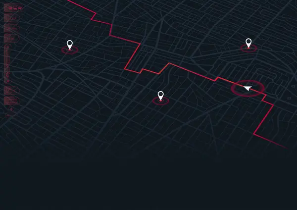
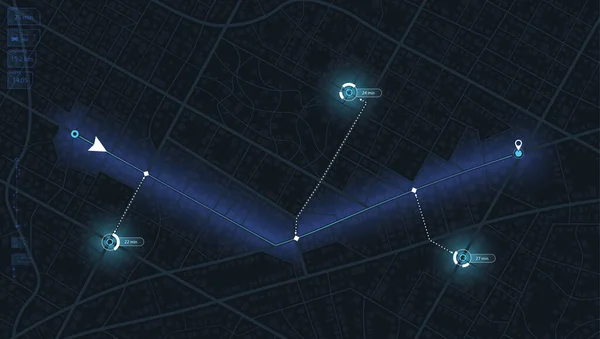
Stock vector Isometric city map with designated destination, and multiple markers indicating various routes, including the shortest

Published: Apr.26, 2024 06:01:17
Author: Aqi
Views: 0
Downloads: 0
File type: vector / eps
File size: 7.53 MB
Orginal size: 6250 x 3542 px
Available sizes:
Level: beginner