Home
Images
Vectors
Videos
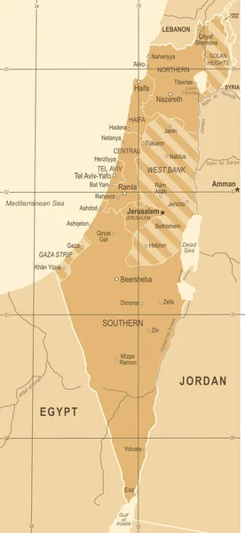
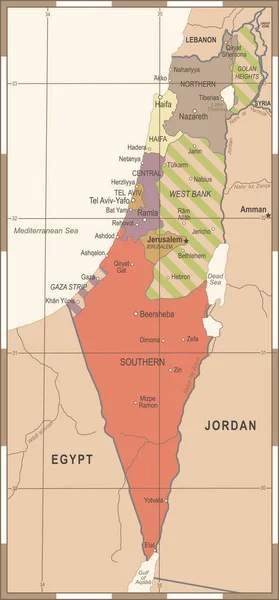
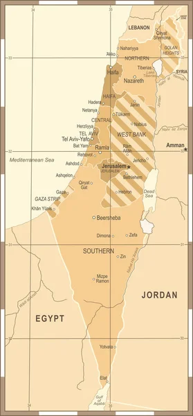
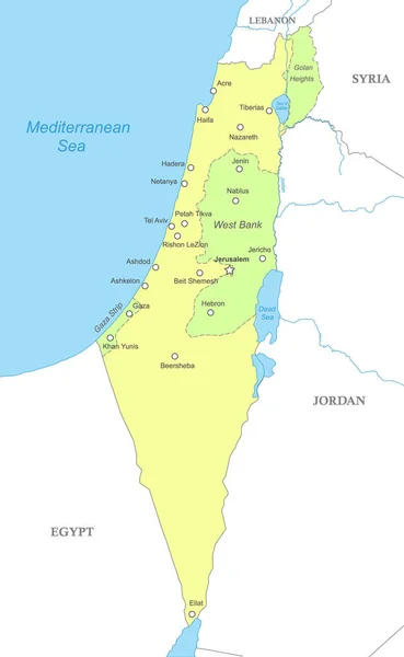
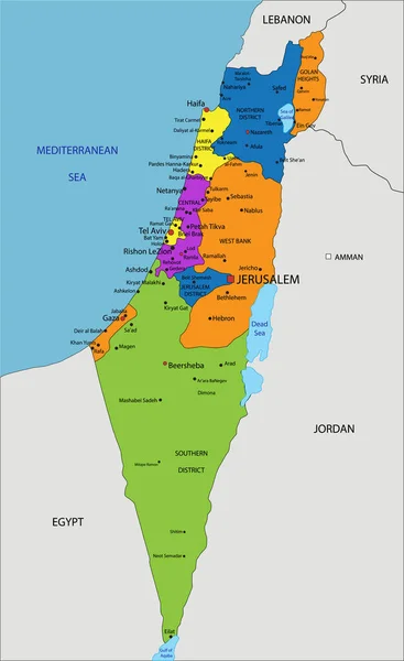
Stock vector Israel Map - Vintage Vector Illustration
Published:
Nov.21, 2017 08:45:31
Author:
dikobrazik
Views:
103
Downloads:
3
File type:
vector
/
eps
File size:
1.71 MB
Orginal size:
4016
x
8700
px
Available sizes:
S
(231 x 500)
M
(462 x 1000)
L
(923 x 2000)
XL
(4016 x 8700)
VECT
(4016 x 8700)
EL0
(4016 x 8700)
Level:
silver
Download Vector
Vector topics:
Vector
Illustration
Border
Old
Retro
Vintage
City
Contour
World
Detailed
Country
Map
Geography
Egypt
Land
Asia
Topography
Political
Jerusalem
Israel
Jordan
Israeli
Haifa
Ashdod
Capital Cities
Navigational Equipment
Geographical Locations
Tel Aviv
Similar stock vectors
Israel Map - Vintage Vector Illustration
4015 × 8700
Israel Map - Vintage Vector Illustration
4058 × 8700
Israel Map - Vintage Vector Illustration
4058 × 8700
Israel Map - Vintage Vector Illustration
4155 × 8700
Highly Detailed Editable Political Map With Separated Layers. Israel.
3461 × 5648
Political Map Of Israel With National Borders, Cities And Rivers
4000 × 6500
Colorful Israel Political Map With Clearly Labeled, Separated Layers. Vector Illustration.
3461 × 5648
Highly Detailed Vector Map Of Israel With Main Cities, Roads And Neighbour Countries.
2394 × 3000