photo free
Home Images Vectors Videos

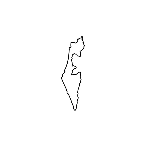
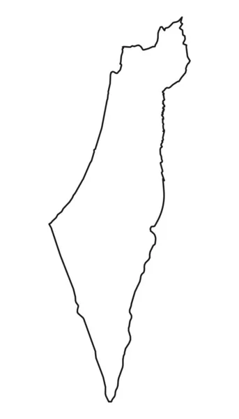
Stock vector Israel map silhouette

Stock vector Israel map silhouette
Published: May.29, 2017 14:23:16
Author: parkheta.gmail.com
Views: 19
Downloads: 0
File type: vector / eps
File size: 0.53 MB
Orginal size: 5000 x 5000 px
Available sizes:
S
(500 x 500)
M
(1000 x 1000)
L
(2000 x 2000)
XL
(5000 x 5000)
VECT
(5000 x 5000)
EL0
(5000 x 5000)
Level: beginner
Download Vector
Vector topics:

Similar stock vectors

stock vector Country Shape Illustration of Israel

Country Shape Illustration Of Israel

3333 × 3333
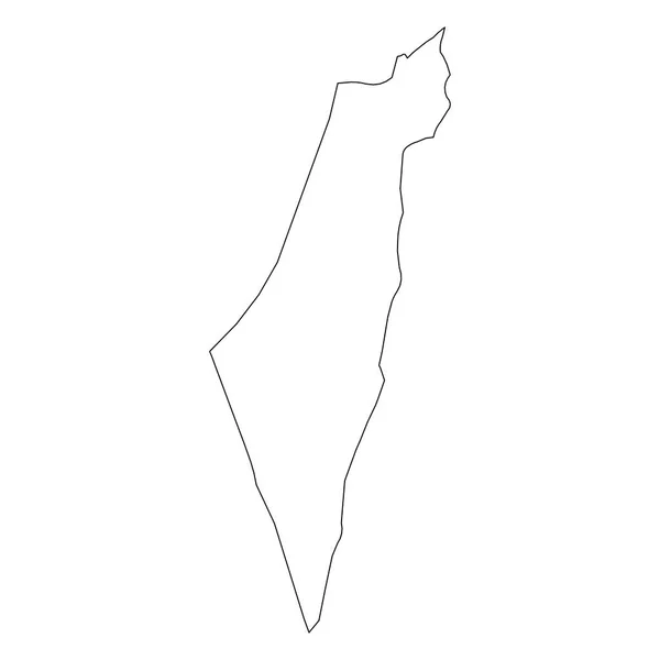
stock vector Israel - solid black outline border map of country area. Simple flat vector illustration

Israel - Solid Black Outline Border Map Of Country Area. Simple Flat Vector Illustration

6000 × 6000
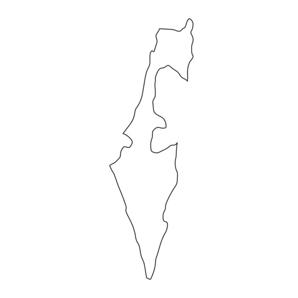
stock vector Highly detailed Israel map with borders isolated on background

Highly Detailed Israel Map With Borders Isolated On Background

8334 × 8334
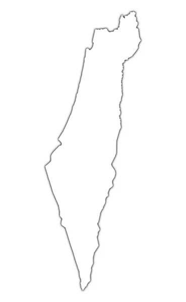
stock image Israel outline map with shadow

Israel Outline Map With Shadow

3221 × 5227
stock vector Palestine, israel map country, jeruzalem zone on white background

Palestine, Israel Map Country, Jeruzalem Zone On White Background

3200 × 5580
stock vector Isolated vector Illustration. Black on White background. EPS 10 Illustration

Isolated Vector Illustration. Black On White Background. EPS 10 Illustration

10000 × 10000
stock vector Israel country thin black outline. High detailed map. Vector illustration isolated on white background.

Israel Country Thin Black Outline. High Detailed Map. Vector Illustration Isolated On White Background.

8000 × 8000
stock vector Westerwolde municipality (Kingdom of the Netherlands, Holland, Groningen, Grunn or Grinslan province) map vector illustration, scribble sketch Westerwoolde map

Westerwolde Municipality (Kingdom Of The Netherlands, Holland, Groningen, Grunn Or Grinslan Province) Map Vector Illustration, Scribble Sketch Westerwoolde Map

7087 × 4726