Home
Images
Vectors
Videos
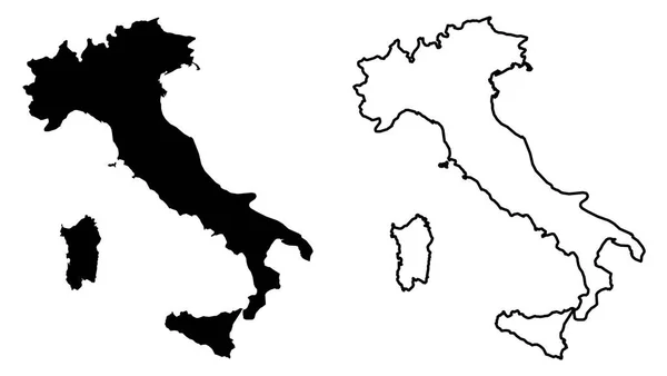
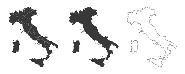
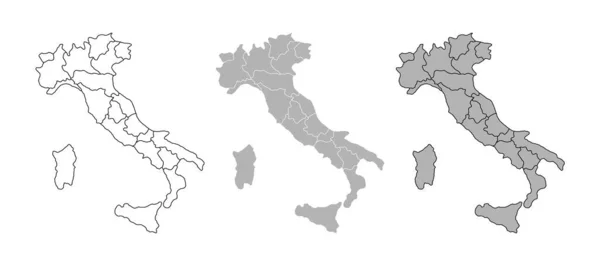
Stock vector Italian political map with regional administrative borders. Cartography silhouette. Map of Italy with region borders isolated on white background
Published:
Jun.07, 2022 13:55:20
Author:
lifeking83
Views:
1
Downloads:
0
File type:
vector
/
eps
File size:
1.3 MB
Orginal size:
9000
x
4000
px
Available sizes:
S
(500 x 222)
M
(1000 x 444)
L
(2000 x 889)
XL
(9000 x 4000)
VECT
(9000 x 4000)
EL0
(9000 x 4000)
Level:
bronze
Download Vector
Vector topics:
Vector
Illustration
Design
Isolated
Travel
European
Line
Silhouette
Border
Gray
Symbol
Icon
Flat
Contour
Grey
World
Italy
Italian
Europe
Outline
Country
Map
Cartography
Geography
National
Continent
Land
State
Florence
Tuscany
Location
Rome
Calligraphy
Political
Administrative
Sardinia
Milan
Geographic
Eu
Turin
Region
Veneto
Territory
Atlas
Sicily
Province
Nation
Sicilia
Regional
Lombardy
Similar stock vectors
Simple Map Of Italy Isolated On Blue Background.
5821 × 3174
Simple Black Map Of Italy Isolated On White Background. Vector
5821 × 3174
Two Detailed Vector Maps Of Italian Regions And Administrative Areas In Grey Color
5265 × 3128
Italy Map Set. Country Map Black Silhouette Isolated On White Background. Black Outline On White Background. Vector File EPS
12170 × 6666
Italy Map Vector
8858 × 5906
Simple (only Sharp Corners) Map Of Italian Republic Vector Drawi
6201 × 3500
Set Of 3 Maps Of Italy - Vector Illustrations
7000 × 2800
Highly Detailed Italy Map With Borders Isolated On Background
8000 × 2667