Home
Images
Vectors
Videos
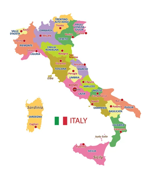
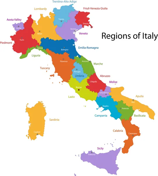
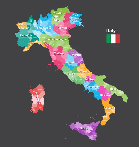
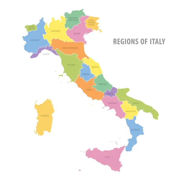
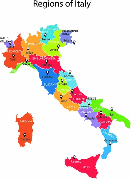
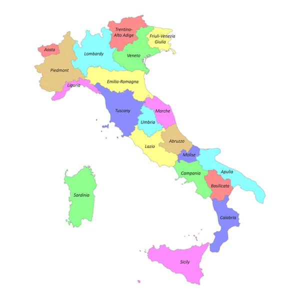
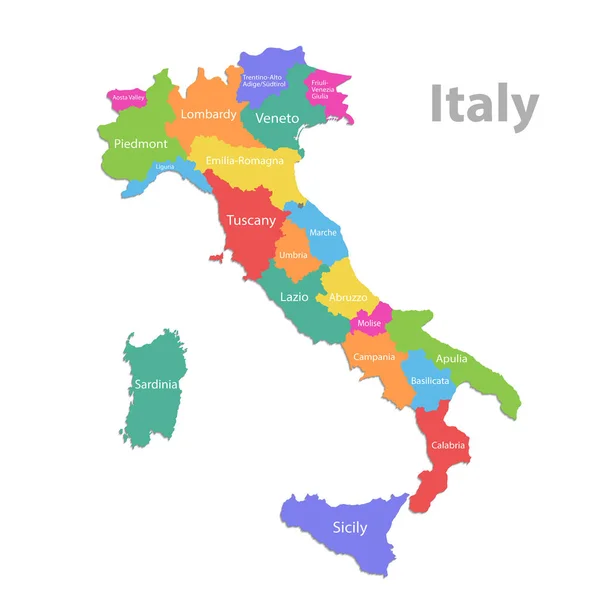
Stock vector Italy map, administrative division with names, colors map isolated on white background vector
Published:
Jan.14, 2020 15:53:56
Author:
Mondi.h
Views:
206
Downloads:
5
File type:
vector
/
eps
File size:
11.45 MB
Orginal size:
4000
x
4000
px
Available sizes:
S
(500 x 500)
M
(1000 x 1000)
L
(2000 x 2000)
XL
(4000 x 4000)
VECT
(4000 x 4000)
EL0
(4000 x 4000)
Level:
bronze
Download Vector
Vector topics:
Green
Color
Colors
Yellow
Blue
Vector
Background
Colorful
Colored
Illustration
Design
Isolated
Shape
Travel
Orange
European
Silhouette
Border
Violet
Contour
Earth
World
Italy
Italian
Europe
Individual
Outline
Country
Map
Cartography
Geography
Continent
State
Separate
Island
Sardinia
Community
Territory
Atlas
Sicily
Province
Names
Calabria
White Background
Isolated On White
European Union
San Marino
Italian Republic
Italy Map
Wall Map
Similar stock vectors
Colorful Vector Italy Map With Regions And Main Cities
3780 × 4488
Colorful Italy Map
7218 × 8001
Vector Italy Provinces Map Colored By Regions. All Layers Detachable And Labeled.
6922 × 7292
Administrative Color Vector Map Of Italy
6000 × 6000
Italy Map Vector Illustration
2166 × 2949
Italy - Map And Flag Illustration
5900 × 7492
Country Italy Silhouette And Flag Vector
4229 × 5500
High Quality Colorful Labeled Map Of Italy With Borders Of The Regions
4000 × 4000