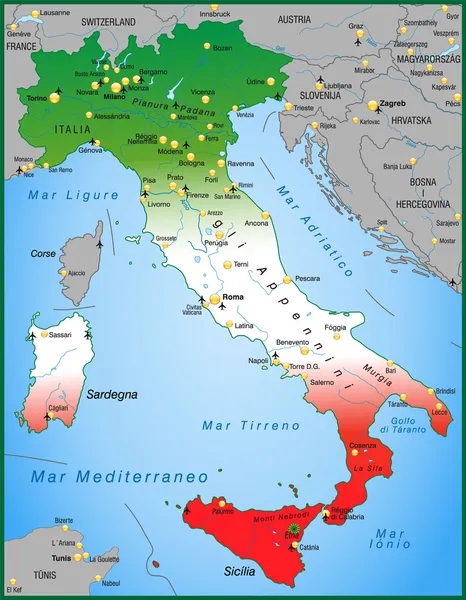
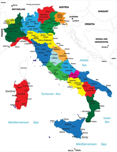
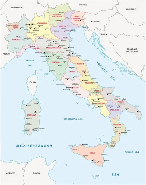
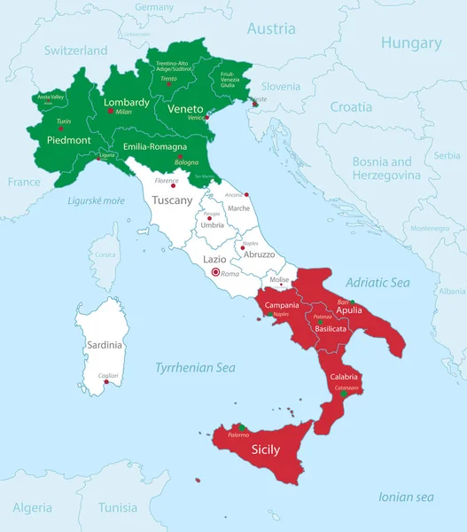
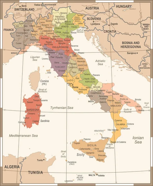
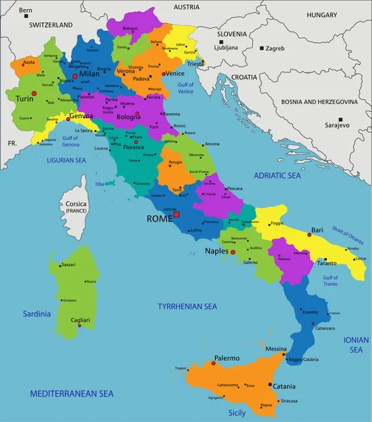
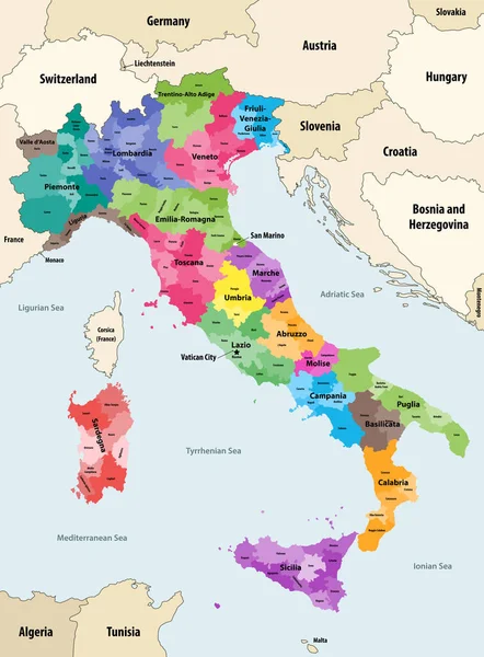
Stock vector Italy provinces colored by regions vector map with neighbouring countries and territories
Published: Mar.23, 2020 11:30:21
Author: Jktu_21
Views: 1408
Downloads: 6
File type: vector / eps
File size: 8.02 MB
Orginal size: 6154 x 8333 px
Available sizes:
Level: silver