Home
Images
Vectors
Videos
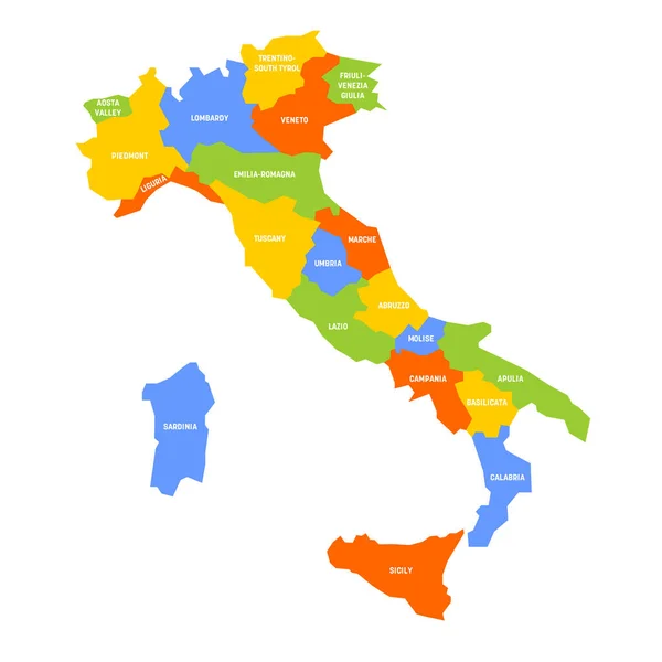
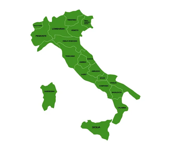
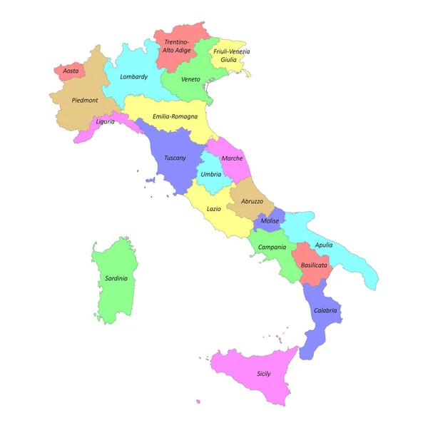
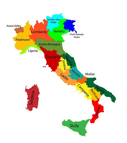
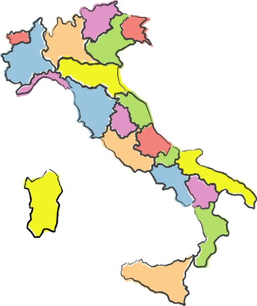
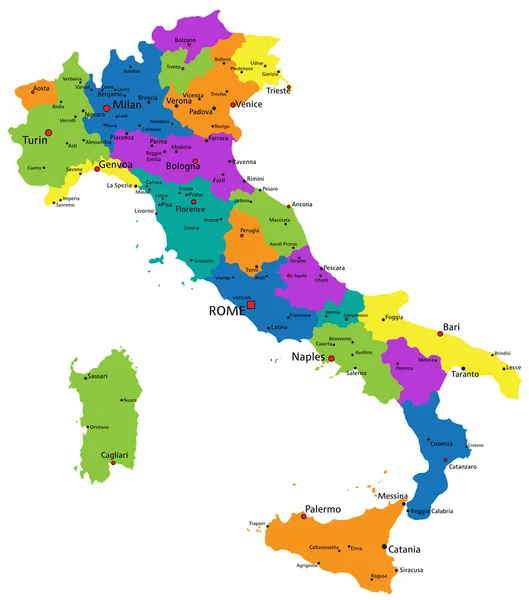
Stock vector Italy regions map isolated on white background. Cartography map of Italian regional administrative borders. Vector stock
Published:
Mar.18, 2022 08:52:20
Author:
Fayethequeen93
Views:
167
Downloads:
2
File type:
vector
/
eps
File size:
5.56 MB
Orginal size:
5000
x
5000
px
Available sizes:
S
(500 x 500)
M
(1000 x 1000)
L
(2000 x 2000)
XL
(5000 x 5000)
VECT
(5000 x 5000)
EL0
(5000 x 5000)
Level:
bronze
Download Vector
Vector topics:
Green
Vector
Background
Colorful
Illustration
Design
Travel
Abstract
Silhouette
Border
Flag
Symbol
Education
World
Italy
Italian
Tourism
Capital
Europe
Name
Outline
Country
District
Map
Cartography
Geography
National
Mediterranean
State
Venice
Tuscany
Roma
Rome
Countries
Sardinia
Milan
Naples
Adriatic
Turin
Region
Sicily
Province
Nation
Genoa
Regional
Capitals
Lombardy
Provinces
Regions
Similar stock vectors
Italy - Map Of Regions
6000 × 6000
Italy Map With Regions On White Background
8000 × 7000
Italy Map With Regions, Vector Illustration
8000 × 7000
High Quality Colorful Labeled Map Of Italy With Borders Of The Regions
4000 × 4000
Editable Colorful Vector Map Of Italy. Vector Map Of Italy Isolated On Background. High Detailed. Autonomous Communities Of Italy. Administrative Divisions Of Italy, Separated Provinces. Outline Map.
5321 × 6001
Map Of Italy
5724 × 6811
Colorful Italy Political Map
5010 × 5673
3D Map Of Italy With Colored Regions On Neutral Background, 3D Rendering
3767 × 3000