Home
Images
Vectors
Videos
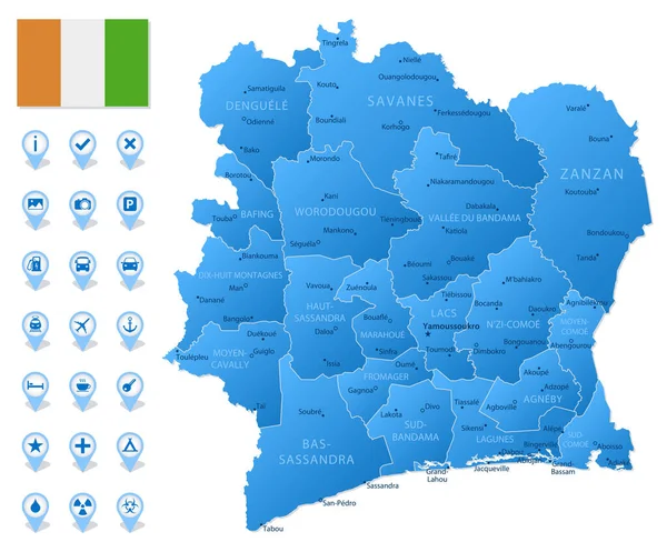
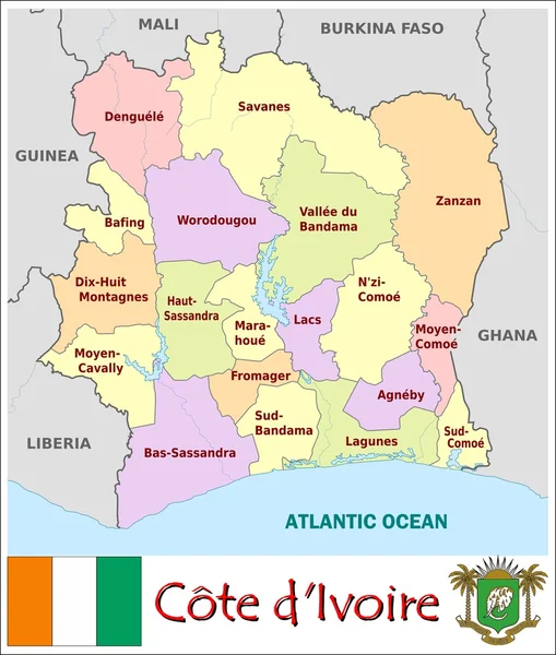
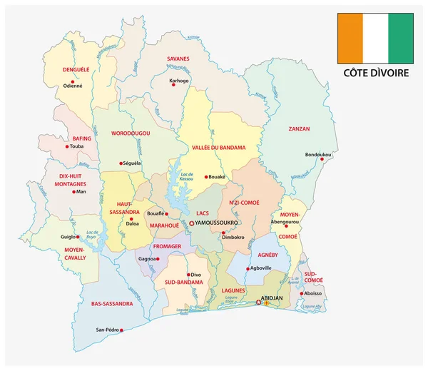
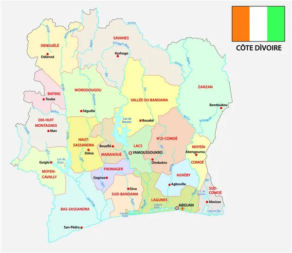
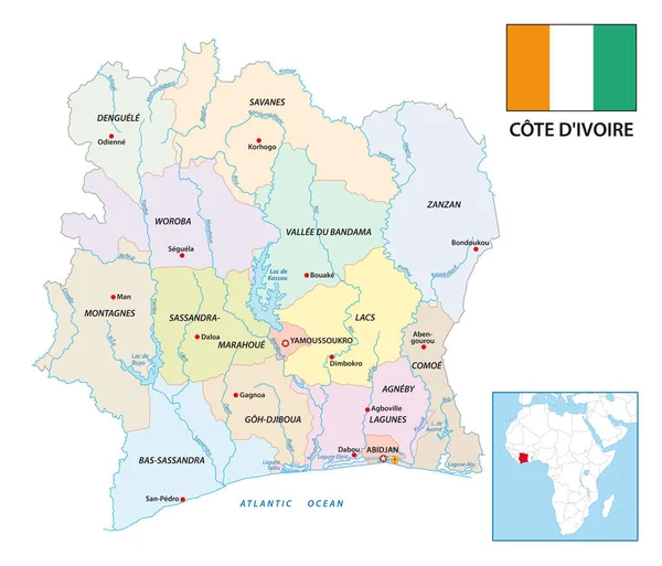
Stock vector ivory coast administrative and political vector map with flag
Published:
Feb.06, 2019 20:06:31
Author:
Lesniewski
Views:
36
Downloads:
5
File type:
vector
/
eps
File size:
1.06 MB
Orginal size:
3571
x
3100
px
Available sizes:
S
(500 x 434)
M
(1000 x 868)
L
(2000 x 1736)
XL
(3571 x 3100)
VECT
(3571 x 3100)
EL0
(3571 x 3100)
Level:
bronze
Download Vector
Vector topics:
White
Vector
Background
Illustration
Design
Isolated
Shape
Business
Sign
Travel
Line
Border
Flag
Hand
Modern
Symbol
Icon
City
Coast
Globe
Outline
Country
West
Map
Cartography
Geography
National
Africa
Land
Ivory
State
Drawn
Location
Political
Administrative
Cities
Nation
Cote
Sketchy
Divoire
Abidjan
Ivory Coast
Similar stock vectors
Ivory Coast Administrative And Political Vector Map With Flag
4000 × 3929
New Administrative Vector Map Of The African Republic Ivory Coast With Flag
3621 × 3100
Cote D'Ivoire
2844 × 3466
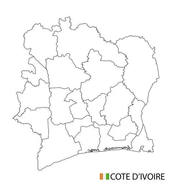
Cote D'Ivoire Map, Black And White Detailed Outline Regions Of The Country. Vector Illustration
5240 × 5690
Green Map Of Cameroon With Outline Vector Design Template. Editable Stroke
5000 × 5000
Blue Map Of Ivory Coast Administrative Divisions With Travel Infographic Icons. Vector Illustration
6425 × 5331
Ivory Coast Administrative Divisions
3468 × 4083