Home
Images
Vectors
Videos
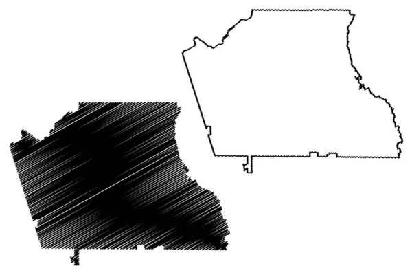
Stock vector Jackson County, Colorado (U.S. county, United States of America,USA, U.S., US) map vector illustration, scribble sketch Jackson map
Published:
Feb.13, 2020 11:07:31
Author:
Danler
Views:
0
Downloads:
0
File type:
vector
/
eps
File size:
0.74 MB
Orginal size:
7087
x
4726
px
Available sizes:
S
(500 x 333)
M
(1000 x 667)
L
(2000 x 1334)
XL
(7087 x 4726)
VECT
(7087 x 4726)
EL0
(7087 x 4726)
Level:
bronze
Download Vector
Vector topics:
Vector
Background
Illustration
Isolated
Sign
Travel
Abstract
Black
Line
Silhouette
Border
Modern
Symbol
Icon
City
Contour
Drawing
American
Us
Usa
Scratch
Tourism
Town
North
Sketch
Outline
Country
District
Map
Cartography
Geography
Area
National
Continent
Topography
America
Boundary
United
Region
Scribble
Doodle
Insignia
Jackson
Territory
Patriotic
Metropolitan
County
Colorado
United States
Walden
Similar stock vectors
East Baton Rouge County, Louisiana (U.S. County, United States Of America, USA, U.S., US) Map Vector Illustration, Scribble Sketch East Baton Rouge Parish Map
7087 × 4726
Jackson County, Colorado (U.S. County, United States Of America,USA, U.S., US) Map Vector Illustration, Scribble Sketch Jackson Map
7087 × 4726
Georgia State Map. US State Map. Georgia Outline Symbol. Vector Illustration
5001 × 4001
The 2D State Of Georgia (USA) Outline Map On White Background
5001 × 5001
Accurate Map Of Georgia
5000 × 4000
East Baton Rouge County, Louisiana (U.S. County, United States Of America, USA, U.S., US) Map Vector Illustration, Scribble Sketch East Baton Rouge Parish Map
7087 × 4726
Alabama AL State Map USA. Black Silhouette And Outline Isolated Maps On A White Background. EPS Vector
8334 × 12500
Coweta County, Georgia (U.S. County, United States Of America,USA, U.S., US) Map Vector Illustration, Scribble Sketch Coweta Map
7087 × 4726