Home
Images
Vectors
Videos
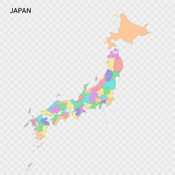
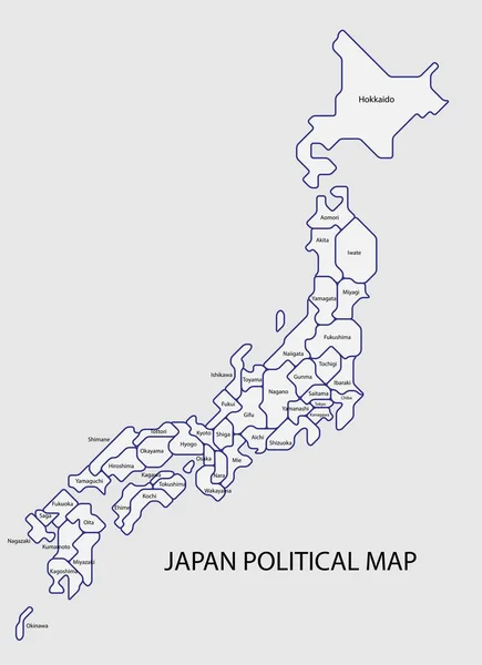
Stock vector Japan political map divide by state colorful outline simplicity style.
Published:
Jan.06, 2021 13:08:38
Author:
tanarch
Views:
57
Downloads:
2
File type:
vector
/
eps
File size:
5.47 MB
Orginal size:
8086
x
11136
px
Available sizes:
S
(363 x 500)
M
(726 x 1000)
L
(1452 x 2000)
XL
(8086 x 11136)
VECT
(8086 x 11136)
EL0
(8086 x 11136)
Level:
bronze
Download Vector
Vector topics:
Color
White
Vector
Background
Colorful
Graphic
Illustration
Design
Isolated
Shape
Art
Travel
Abstract
Border
Symbol
Concept
City
Global
Simple
World
East
Japanese
Asian
Outline
Country
Map
Cartography
Geography
Area
National
Continent
Asia
State
Japan
Topography
Fuji
Tokyo
Osaka
Islands
Region
Diagram
Prefecture
Territory
Province
Hokkaido
Kyushu
Shikoku
Kanto
Okinawa
Similar stock vectors
Japan Political Map Divide By State Colorful Outline Simplicity Style.
3881 × 5345
Japan Political Map Divide By State Colorful Outline Simplicity Style.
3881 × 5345
Japan Regions Map Grey
5000 × 5749
Isolated Colored Map Of Japan With Borders Of The Prefectures
4000 × 4000
Japan Geographic Map
4107 × 5003
Japan Map Grey
5000 × 5749
Japan - Highly Detailed Editable Political Map With Labeling.
4223 × 3533
Colorful Japan Political Map With Clearly Labeled, Separated Layers. Vector Illustration.
4223 × 3533