Home
Images
Vectors
Videos
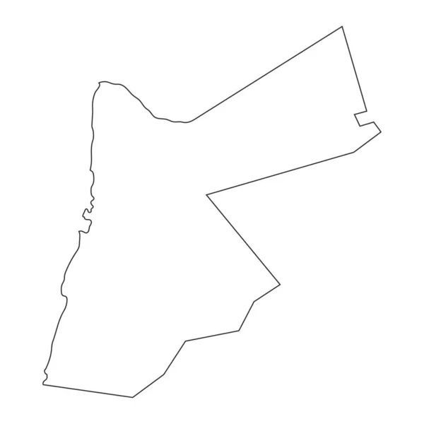
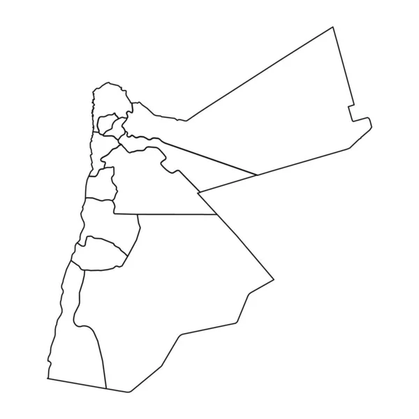
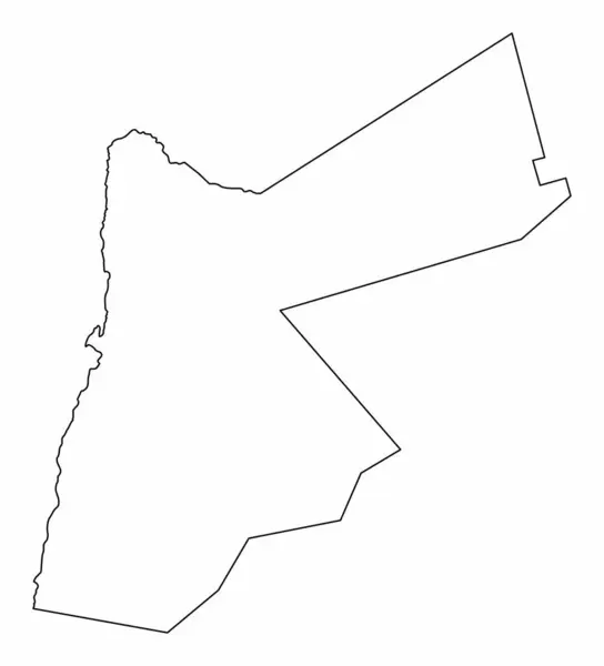
Stock vector Jordan outline map isolated on white background
Published:
Aug.04, 2024 04:41:28
Author:
luisrftc
Views:
0
Downloads:
0
File type:
vector
/
eps
File size:
8.08 MB
Orginal size:
4540
x
5000
px
Available sizes:
S
(454 x 500)
M
(908 x 1000)
L
(1816 x 2000)
XL
(4540 x 5000)
VECT
(4540 x 5000)
EL0
(4540 x 5000)
Level:
bronze
Download Vector
Vector topics:
White
Vector
Background
Graphic
Illustration
Design
Isolated
Shape
Travel
Black
Power
Line
Silhouette
Border
Modern
Symbol
Concept
Stylized
Flat
Contour
Simple
World
Outline
Country
District
Map
Cartography
Geography
Plan
Area
National
Continent
Land
Trip
State
Scheme
Political
Department
Region
Division
Jordan
Territory
Atlas
Mainland
Nation
County
Amman
Provinces
Governorates
Similar stock vectors
High Detailed Outline Of The Country Of Jordan
3472 × 3472
Highly Detailed Jordan Map With Borders Isolated On Background
8334 × 8334
Saint Ann Parish Map, Administrative Division Of Jamaica. Vector Illustration.
8333 × 8333
Namukulu Village Map, Administrative Division Of Niue. Vector Illustration.
8334 × 8334
Outline Sketch Map Of Jordan With States And Cities
2401 × 2401
Republic Borough Of Point Fortin (Regional Corporations And Municipalities, Republic Of Trinidad And Tobago) Map Vector Illustration, Scribble Sketch Point Fortin Map
7087 × 4726
Agadez Region Map, Administrative Division Of The Country Of Niger. Vector Illustration.
8334 × 8334
Libya Map With Provinces. Vector Illustration.
8334 × 8334