Home
Images
Vectors
Videos
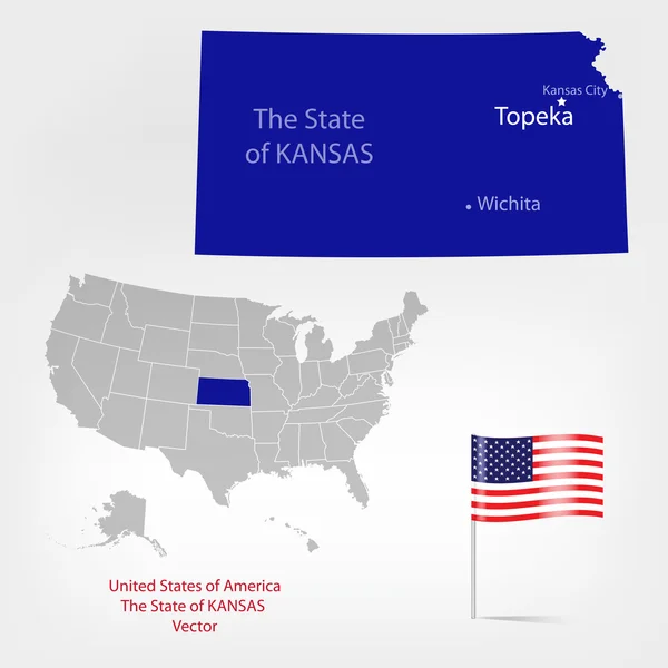
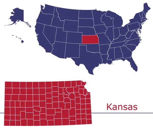
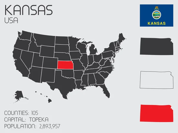
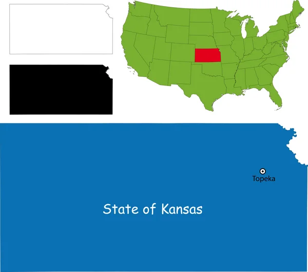
Stock vector Kansas map
Published:
Oct.01, 2013 18:46:41
Author:
Volina
Views:
111
Downloads:
1
File type:
vector
/
eps
File size:
3.83 MB
Orginal size:
5202
x
4609
px
Available sizes:
S
(500 x 443)
M
(1000 x 886)
L
(2000 x 1772)
XL
(5202 x 4609)
VECT
(5202 x 4609)
EL0
(5202 x 4609)
Level:
silver
Download Vector
Vector topics:
Background
Illustration
Isolated
Travel
Detail
Border
City
Contour
American
Usa
Detailed
Country
District
Map
Geography
National
Seat
State
America
Boundary
Administrative
United
Maine
Atlas
Province
County
Kansas
Topeka
Wichita
Similar stock vectors
United States Of America Illustration With The Selected State Of
4167 × 4167
Nebraska Map
5503 × 4294
Kansas On USA Map With Map Of The State
3754 × 3180
American Map Kansas
4724 × 4724
United States Of America Illustration With The Selected State Of
4167 × 4167
Kansas Counties Vector Map With USA Map Colors National Flag
4680 × 4024
United States Of America Isolated Map And Kansas State Territory. Vector USA Political Map. Geographic Banner Template
6000 × 4000
Set Of Infographic Elements For The State Of Kansas
6667 × 5000