Home
Images
Vectors
Videos
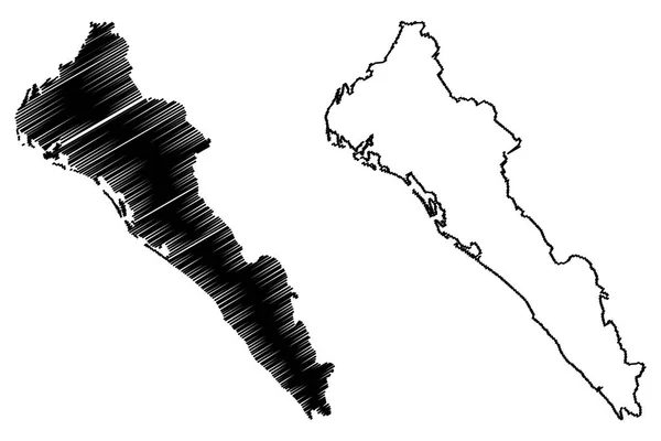
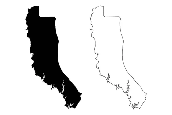
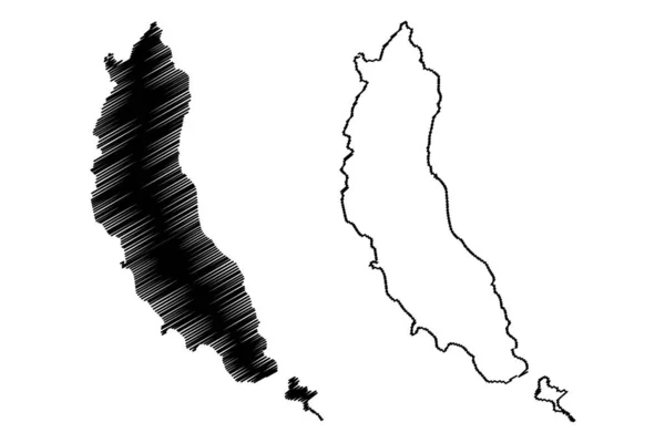
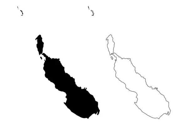
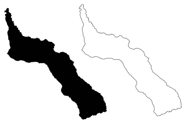
Stock vector Kayin State (Administrative divisions of Myanmar, Republic of the Union of Myanmar, Burma) map vector illustration, scribble sketch Karen State map
Published:
Dec.04, 2018 14:51:24
Author:
Danler
Views:
1
Downloads:
0
File type:
vector
/
eps
File size:
0.53 MB
Orginal size:
7087
x
4726
px
Available sizes:
S
(500 x 333)
M
(1000 x 667)
L
(2000 x 1334)
XL
(7087 x 4726)
VECT
(7087 x 4726)
EL0
(7087 x 4726)
Level:
bronze
Download Vector
Vector topics:
Vector
Background
Illustration
Design
Isolated
Sign
Travel
Abstract
Texture
Black
Line
Silhouette
Border
Icon
Flat
Contour
Drawing
World
Scratch
Sketch
Outline
Country
Map
Cartography
Geography
Area
National
Continent
Asia
State
Topography
Administrative
Republic
Region
Scribble
Division
Insignia
Territory
Southeast
Patriotic
Peninsula
Province
County
Autonomy
Myanmar
Oblast
Burma
Karen
Hpa An
Kayin
Similar stock vectors
King And Queen County, Commonwealth Of Virginia (U.S. County, United States Of America, USA, U.S., US) Map Vector Illustration, Scribble Sketch King And Queen Map
7087 × 4726
Sinaloa (United Mexican States, Mexico, Federal Republic) Map Vector Illustration, Scribble Sketch Free And Sovereign State Of Sinaloa Map
7087 × 4724
Greek Island Corfu Map Vector,
8858 × 5906
Calvert County, Maryland (U.S. County, United States Of America, USA, U.S., US) Map Vector Illustration, Scribble Sketch Calvert Map
7087 × 4726
Calvert County, Maryland (U.S. County, United States Of America, USA, U.S., US) Map Vector Illustration, Scribble Sketch Calvert Map
7087 × 4726
Mohotani Island (France, French Republic, Pacific Ocean, Marquesas Islands Archipelago, French Polynesia) Map Vector Illustration, Scribble Sketch Moho Tani, Molopu Or Motane Map
7087 × 4726
Autonomous Region Of Bougainville (Independent State Of Papua New Guinea, PNG, Provinces Of Papua New Guinea) Map Vector Illustration, Scribble Sketch North Solomons Ma
7087 × 4726
Mount Athos Region (Greece, Hellenic Republic, Hellas) Map Vector Illustration, Scribble Sketch Mount Athos Autonomous State Map
7087 × 4726