Home
Images
Vectors
Videos
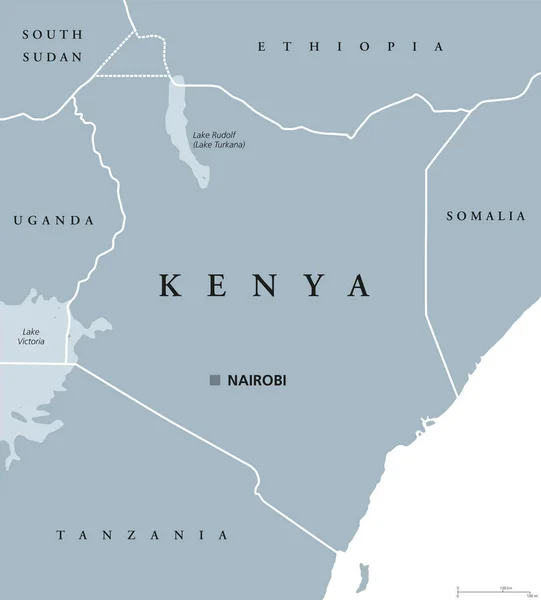
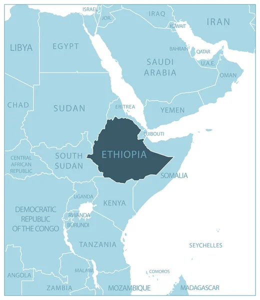
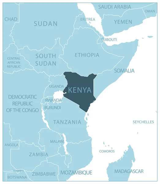
Stock vector Kenya - blue map with neighboring countries and names. Vector illustration
Published:
Jun.30, 2023 17:11:33
Author:
gt29
Views:
2
Downloads:
0
File type:
vector
/
eps
File size:
0.74 MB
Orginal size:
5251
x
6036
px
Available sizes:
S
(435 x 500)
M
(870 x 1000)
L
(1740 x 2000)
XL
(5251 x 6036)
VECT
(5251 x 6036)
EL0
(5251 x 6036)
Level:
bronze
Download Vector
Vector topics:
White
Blue
Vector
Background
Business
Travel
Transportation
Border
Road
Contour
Earth
World
Tourism
Delivery
Collection
Layout
Country
Map
Cartography
Geography
Africa
Continent
Separation
State
Traveling
Political
Printed
Kenya
Division
Marker
Provinces
Territories
Kenyan
Nairobi
Municipalities
Light Blue
Kenya Map
Similar stock vectors
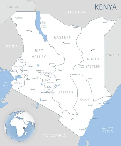
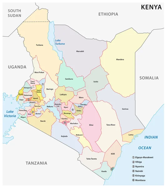
Blue-gray Detailed Map Of Kenya Administrative Divisions And Location On The Globe. Vector Illustration
5233 × 6276
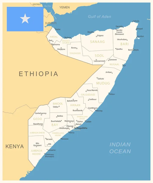
Somalia - Detailed Map With Administrative Divisions And Country Flag. Vector Illustration
5966 × 7123
Somali Physiography Map
4277 × 5130
Administrative And Political Map Of The Republic Of Kenya
3100 × 3477
Blue-gray Detailed Map Of Tanzania Administrative Divisions And Location On The Globe. Vector Illustration
5198 × 6129
Blue-gray Detailed Map Of Ethiopia Administrative Divisions And Location On The Globe.
5251 × 5190
Kenya Political Map
7519 × 8333
Ethiopia - Blue Map With Neighboring Countries And Names. Vector Illustration
5259 × 6056