Home
Images
Vectors
Videos
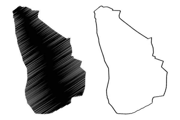
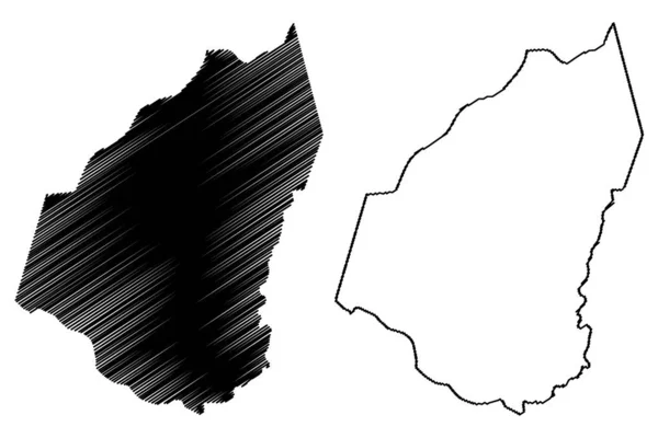
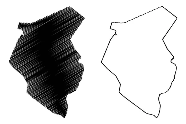
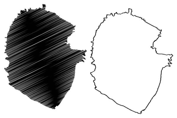
Stock vector La Digue island (Republic of Seychelles, Indian Ocean) map vector illustration, scribble sketch La Digue map
Published:
Aug.13, 2022 09:31:15
Author:
Danler
Views:
1
Downloads:
0
File type:
vector
/
eps
File size:
0.85 MB
Orginal size:
7087
x
4726
px
Available sizes:
S
(500 x 333)
M
(1000 x 667)
L
(2000 x 1334)
XL
(7087 x 4726)
VECT
(7087 x 4726)
EL0
(7087 x 4726)
Level:
bronze
Download Vector
Vector topics:
Vector
Illustration
Design
Isolated
Sign
Travel
Abstract
Texture
Line
Silhouette
Border
Symbol
Icon
Flat
Contour
Simple
Drawing
Scratch
Tourism
Sketch
Outline
Country
Map
Cartography
Geography
Area
Africa
Continent
State
Topography
Island
Administrative
Delineation
Region
Scribble
Territory
Borderline
Patriotic
Province
Nation
Seychelles
Autonomy
Oblast
Archipelago
La Digue
Similar stock vectors
Eldoret City (Republic Of Kenya, Uasin Gishu County) Map Vector Illustration, Scribble Sketch City Of Eldoret Map
7087 × 4726
French Guiana Map Vector
7087 × 4724
Guidimaka Region (Regions Of Mauritania, Islamic Republic Of Mauritania) Map Vector Illustration, Scribble Sketch Guidimaka Map
7087 × 4726
Juba City (Republic Of South Sudan, Central Equatoria State) Map Vector Illustration, Scribble Sketch City Of Juba Map
7087 × 4726
Presidente Hayes Department (Departments Of Paraguay, Republic Of Paraguay) Map Vector Illustration, Scribble Sketch Presidente Hayes Ma
7087 × 4726
Guguan Island (Commonwealth Of The Northern Mariana Islands, Pacific Ocean, United States Of America, USA) Map Vector Illustration, Scribble Sketch Guguan Map
7087 × 4726
Haut-Rhin Department (France, French Republic, Grand Est Region) Map Vector Illustration, Scribble Sketch Haut Rhin Map
7087 × 4726
Ceara (Region Of Brazil, Federated State, Federative Republic Of Brazil) Map Vector Illustration, Scribble Sketch Ceara Map
7087 × 4724