Home
Images
Vectors
Videos
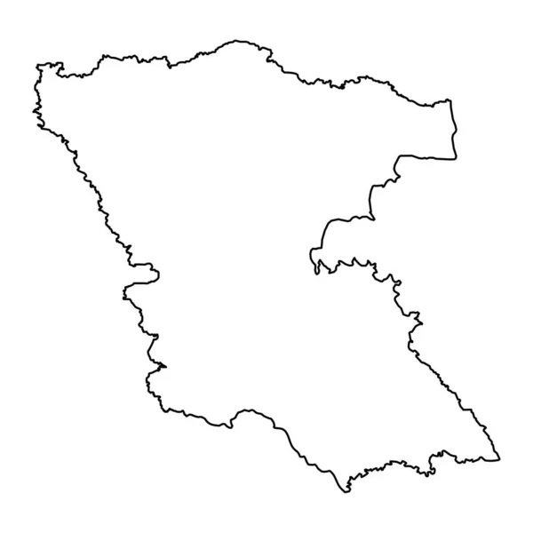
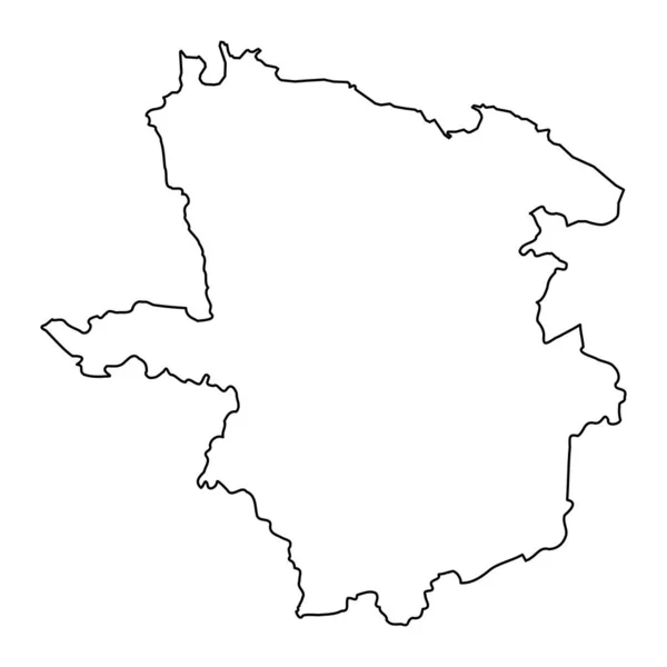
Stock vector Laane Viru county map, the state administrative subdivision of Estonia. Vector illustration.
Published:
May.24, 2023 10:15:42
Author:
majborodinruslan1990.icloud.com
Views:
0
Downloads:
0
File type:
vector
/
eps
File size:
5.34 MB
Orginal size:
8334
x
8334
px
Available sizes:
S
(500 x 500)
M
(1000 x 1000)
L
(2000 x 2000)
XL
(8334 x 8334)
VECT
(8334 x 8334)
EL0
(8334 x 8334)
Level:
beginner
Download Vector
Vector topics:
Vector
Graphic
Illustration
Design
Isolated
Sign
Texture
Line
Silhouette
Border
Banner
Symbol
Icon
Contour
Simple
Drawing
Template
Detailed
Capital
Outline
Country
District
Map
Cartography
Geography
Area
National
Chart
Topography
Boundary
Political
Administrative
Baltic
Estonia
Region
Division
Federal
Territory
Atlas
Province
County
Mapping
Cut Out
Laane Viru County
Similar stock vectors
Brandenburg Region Map. Vector Illustration.
8334 × 8334
France Map On A White Background
8001 × 7001
Illustrated Map Of France On White Background
8000 × 7000
Sofia City Province Map, Province Of Bulgaria. Vector Illustration.
8334 × 8334
High Detailed Outline Of The Country Of France
3472 × 3472
Karlovac County Map, Subdivisions Of Croatia. Vector Illustration.
8334 × 8334
XXX- Solid Black Outline Border Map Of Country Area. Simple Flat Vector Illustration
6000 × 6000
Burgas Province Map, Province Of Bulgaria. Vector Illustration.
8334 × 8334