Home
Images
Vectors
Videos
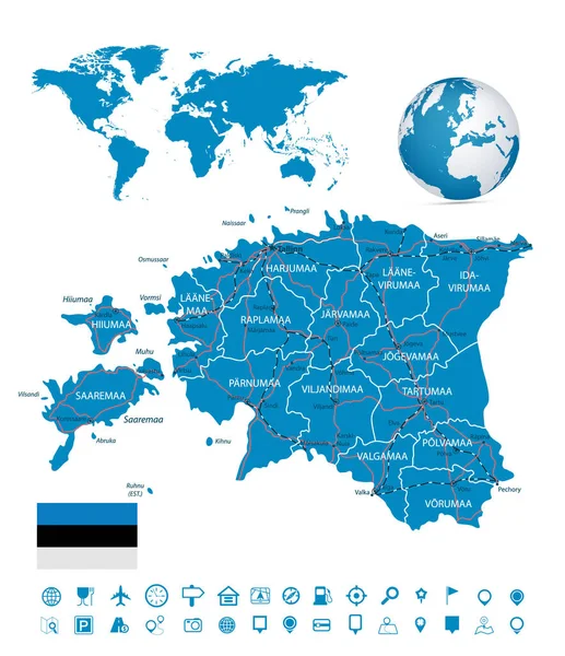
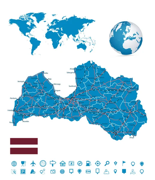
Stock vector Latvia map and map navigation set - Detailed map of Latvia vector illustration - All elements are separated in editable layers clearly labeled.
Published:
Jul.05, 2022 01:32:49
Author:
Cartarium
Views:
1
Downloads:
0
File type:
vector
/
eps
File size:
13.74 MB
Orginal size:
5422
x
6278
px
Available sizes:
S
(432 x 500)
M
(864 x 1000)
L
(1727 x 2000)
XL
(5422 x 6278)
VECT
(5422 x 6278)
EL0
(5422 x 6278)
Level:
bronze
Download Vector
Vector topics:
Color
Vector
Graphic
Illustration
Design
Shape
Sign
Travel
Detail
Cutout
European
Silhouette
Flag
Road
Modern
Symbol
Concept
City
Contour
Earth
Template
Highway
Detailed
Europe
East
Outline
Country
District
Map
Cartography
Geography
National
State
Topography
Location
Borders
Boundary
Railroad
Administrative
Baltic
Republic
Tallinn
Division
Cities
Editable
Territory
Latvia
Atlas
Divisions
Similar stock vectors
Austria Map And Map Navigation Set
6815 × 4631
Czech Republic Map And Map Navigation Set
5047 × 4316
Poland Map And Map Navigation Set
5086 × 6346
Estonia Map And Map Navigation Set - Detailed Map Of Estonia Vector Illustration - All Elements Are Separated In Editable Layers Clearly Labeled.
5422 × 6278
Map Of Lower Saxony
3868 × 4137
Map Of Lower Saxony
4307 × 3937
Die Karte Ist In Eine Illustration Eines Navigationsgertes Eingebettet
4864 × 4792
Map Of Lower Saxony
3778 × 4235