photo free
Home Images Vectors Videos

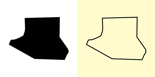
Stock vector Lebanon and Lawrence County, Commonwealth of Pennsylvania (U.S. county, United States of America, USA, U.S., US) map vector illustration, scribble sketch map

Stock vector Lebanon and Lawrence County, Commonwealth of Pennsylvania (U.S. county, United States of America, USA, U.S., US) map vector illustration, scribble sketch map
Published: Dec.04, 2020 08:20:24
Author: Danler
Views: 0
Downloads: 0
File type: vector / eps
File size: 0.56 MB
Orginal size: 7087 x 4726 px
Available sizes:
S
(500 x 333)
M
(1000 x 667)
L
(2000 x 1334)
XL
(7087 x 4726)
VECT
(7087 x 4726)
EL0
(7087 x 4726)
Level: bronze
Download Vector
Vector topics:

Similar stock vectors

stock vector Adams County, Ohio State (U.S. county, United States of America, USA, U.S., US) map vector illustration, scribble sketch Adams map

Adams County, Ohio State (U.S. County, United States Of America, USA, U.S., US) Map Vector Illustration, Scribble Sketch Adams Map

7087 × 4726
stock vector Rustavi City (Republic of Georgia) map vector illustration, scribble sketch City of Rustavi map

Rustavi City (Republic Of Georgia) Map Vector Illustration, Scribble Sketch City Of Rustavi Map

7087 × 4726
stock vector Al Farwaniyah map, Kuwait, Asia. Filled and outline map designs. Vector illustration

Al Farwaniyah Map, Kuwait, Asia. Filled And Outline Map Designs. Vector Illustration

6001 × 3001
stock vector Jos City (Federal Republic of Nigeria, Plateau State) map vector illustration, scribble sketch City of J-Town map

Jos City (Federal Republic Of Nigeria, Plateau State) Map Vector Illustration, Scribble Sketch City Of J-Town Map

7087 × 4726
stock vector Kokshetau City (Republic of Kazakhstan, Akmola Province) map vector illustration, scribble sketch City of Kokchetav map

Kokshetau City (Republic Of Kazakhstan, Akmola Province) Map Vector Illustration, Scribble Sketch City Of Kokchetav Map

7087 × 4726
stock vector Toamasina City (Republic of Madagascar, Atsinanana Region) map vector illustration, scribble sketch City of Tamatave map

Toamasina City (Republic Of Madagascar, Atsinanana Region) Map Vector Illustration, Scribble Sketch City Of Tamatave Map

7087 × 4726
stock vector Food storage boxes in the set. Vector image.

Food Storage Boxes In The Set. Vector Image.

7000 × 5000
stock vector Abstract geometric icon, symbol element shape. Stock vector illustration, clip-art graphics

Abstract Geometric Icon, Symbol Element Shape. Stock Vector Illustration, Clip-art Graphics

6000 × 3000