Home
Images
Vectors
Videos
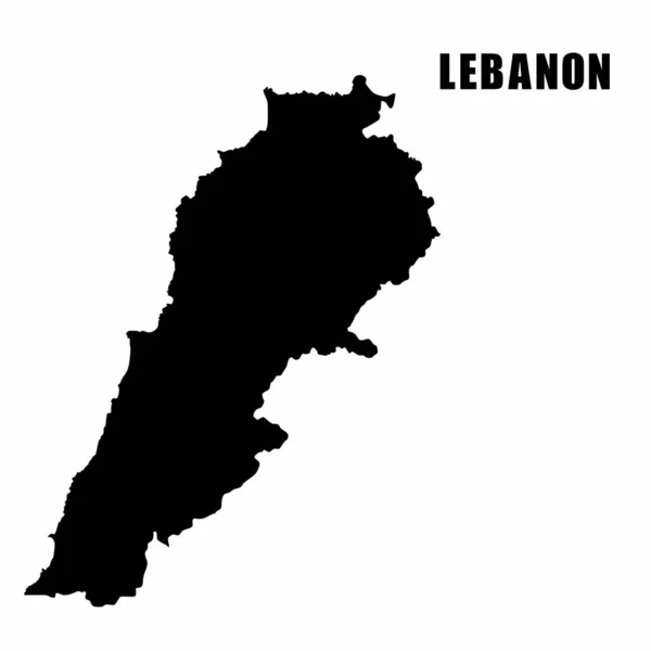
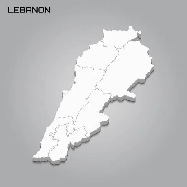
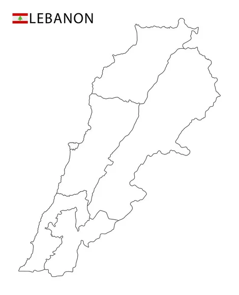
Stock vector Lebanon map, black and white detailed outline regions of the country. Vector illustration
Published:
Jun.23, 2020 07:14:31
Author:
gt29
Views:
8
Downloads:
0
File type:
vector
/
eps
File size:
0.65 MB
Orginal size:
5291
x
6525
px
Available sizes:
S
(405 x 500)
M
(811 x 1000)
L
(1622 x 2000)
XL
(5291 x 6525)
VECT
(5291 x 6525)
EL0
(5291 x 6525)
Level:
bronze
Download Vector
Vector topics:
White
Vector
Background
Graphic
Element
Illustration
Isolated
Art
Travel
Abstract
Black
Line
Silhouette
Border
Flag
Symbol
Icon
Contour
Earth
World
Tourism
North
Outline
Country
Map
Cartography
Geography
Continent
Land
Asia
State
Island
Israel
Region
Territory
Atlas
Mainland
Province
Nation
Syria
Lebanon
BEIRUT
Lebanese
Tripoli
Infographics
Middle East
Lebanon Map
Baabda
Zahla
Similar stock vectors
Vector Contour Dotted Map Of Lebanon With Name
5000 × 3600
Outline Map Of Lebanon
5600 × 6683
Lebanon Vector Map Outline, Line, Linear. Lebanon Black Map On White Background. Lebanon Flag
3543 × 3543
Vector Illustration Of Outline Map Of Lebanon. High-detail Border Map. Silhouette Of A Country Map Isolated On A White Background. Map For Infographic And Geographic Information.
4000 × 4000
Vector Abstract Hatched Map Of Lebanon With Oblique Lines Isolated On A White Background. Travel Vector Illustration.
5000 × 5000
High Detailed Vector Map - Lebanon
4167 × 4168
Isometric Map Of Lebanon Detailed Vector Illustration
6000 × 6000
3d Map With Borders Of Regions
4000 × 4000