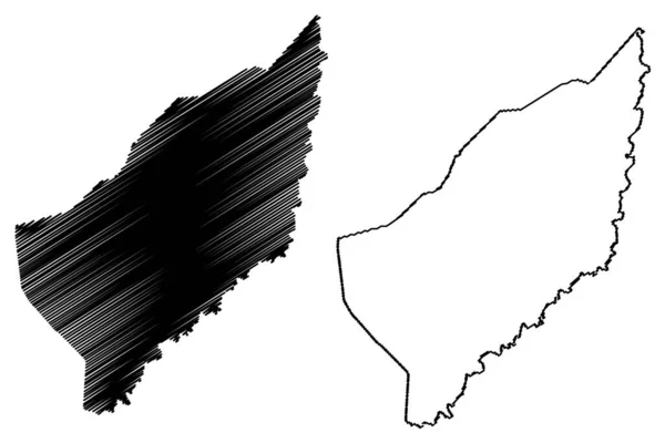
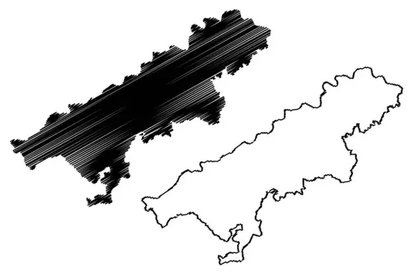
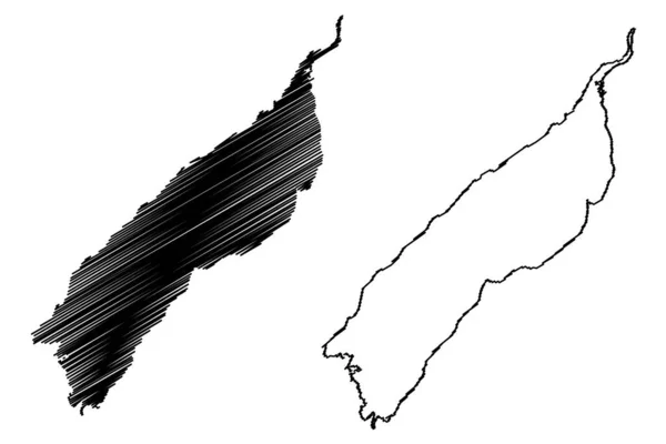
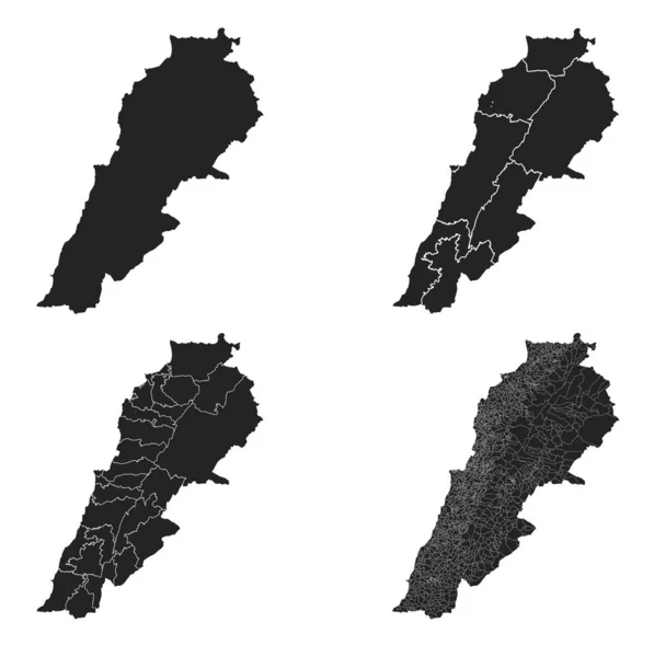
Stock vector Lebanon vector maps with administrative regions, municipalities, departments, borders
Published: Feb.27, 2020 19:41:57
Author: Litteralis
Views: 4
Downloads: 0
File type: vector / eps
File size: 31.19 MB
Orginal size: 4517 x 4538 px
Available sizes:
Level: bronze