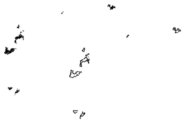
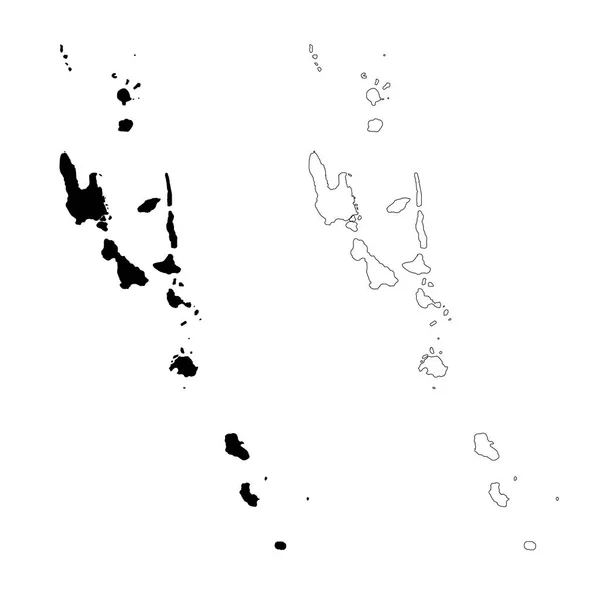
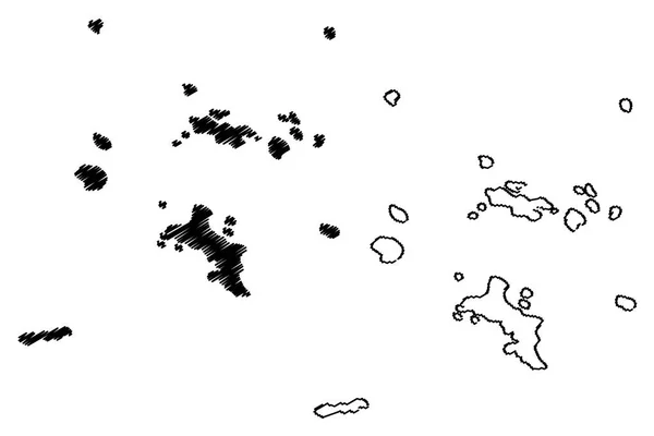
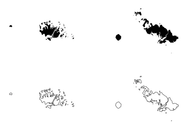
Stock vector Lienchiang County map vecto

Published: May.10, 2019 09:11:12
Author: Danler
Views: 0
Downloads: 0
File type: vector / eps
File size: 0.59 MB
Orginal size: 7087 x 4726 px
Available sizes:
Level: bronze