Home
Images
Vectors
Videos
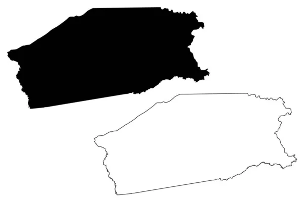
Stock vector Littoral region map, administrative division of Republic of Cameroon. Vector illustration.
Published:
Dec.20, 2023 11:00:52
Author:
majborodinruslan1990.icloud.com
Views:
0
Downloads:
0
File type:
vector
/
eps
File size:
5.31 MB
Orginal size:
8334
x
8334
px
Available sizes:
S
(500 x 500)
M
(1000 x 1000)
L
(2000 x 2000)
XL
(8334 x 8334)
VECT
(8334 x 8334)
EL0
(8334 x 8334)
Level:
beginner
Download Vector
Vector topics:
Vector
Graphic
Illustration
Design
Isolated
Sign
Texture
Line
Silhouette
Border
Banner
Symbol
Icon
Contour
Simple
Drawing
Template
Detailed
Capital
Outline
Country
District
Map
Cartography
Geography
Area
National
State
Chart
Topography
Boundary
Political
Administrative
Republic
Department
Region
Division
Federal
Territory
Atlas
Province
County
Mapping
Littoral
Cameroon
Cut Out
Similar stock vectors
Al Dhahirah Governorate Map, Administrative Division Of Oman. Vector Illustration.
8334 × 8334
Cabinda Province Map, Administrative Division Of Angola.
4000 × 4000
Amazonas Map, State Of Brazil. Vector Illustration.
8334 × 8334
High Detailed Outline Of The Country Of Botswana
3472 × 3472
Farah Province Map, Administrative Division Of Afghanistan.
4000 × 4000
Amazonas State, Outline Map Isolated On White Background, Brazil
5000 × 3500
Highly Detailed Botswana Map With Borders Isolated On Background
8334 × 8334
Madison County, Texas (Counties In Texas, United States Of America,USA, U.S., US) Map Vector Illustration, Scribble Sketch Madison Map
7087 × 4726