Home
Images
Vectors
Videos
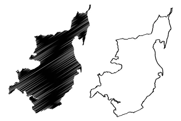
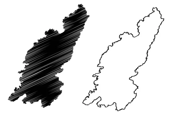
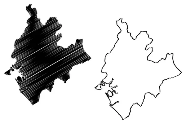
Stock vector Littoral Region (Regions of Cameroon, Republic of Cameroon) map vector illustration, scribble sketch Littoral ma
Published:
Jun.25, 2019 11:21:57
Author:
Danler
Views:
6
Downloads:
0
File type:
vector
/
eps
File size:
0.78 MB
Orginal size:
7087
x
4726
px
Available sizes:
S
(500 x 333)
M
(1000 x 667)
L
(2000 x 1334)
XL
(7087 x 4726)
VECT
(7087 x 4726)
EL0
(7087 x 4726)
Level:
bronze
Download Vector
Vector topics:
Vector
Background
Illustration
Design
Isolated
Sign
Travel
Abstract
Texture
Line
Silhouette
Border
Icon
City
Flat
Contour
Drawing
World
Scratch
Town
Sketch
Outline
Country
Map
Cartography
Geography
Area
National
Africa
Continent
State
Topography
Administrative
Republic
Region
Scribble
Division
Central
Insignia
Territory
Patriotic
Province
Metropolitan
County
Districts
Autonomy
Littoral
Oblast
Cameroon
Douala
Similar stock vectors
North Ostrobothnia Region (Republic Of Finland) Map Vector Illustration, Scribble Sketch North Ostrobothnia Map
7087 × 4726
North Korea Map Vector
7087 × 4724
Boke Region (Subdivisions Of Guinea, Guinea-Conakry, French Guinea) Map Vector Illustration, Scribble Sketch Boke Ma
7087 × 4726
Essex County, Commonwealth Of Massachusetts (U.S. County, United States Of America, USA, U.S., US) Map Vector Illustration, Scribble Sketch Essex Map
7087 × 4726
Rajasthan (States And Union Territories Of India, Federated States, Republic Of India) Map Vector Illustration, Scribble Sketch Rajasthan State Map
7087 × 4724
Oshima Island (Japan, East Asia, Japanese Archipelago, Nagasaki) Map Vector Illustration, Scribble Sketch Oshima Map
7087 × 4726
Mors Island (Kingdom Of Denmark) Map Vector Illustration, Scribble Sketch Moro Map
7087 × 4726
Colonsay Island (United Kingdom Of Great Britain And Northern Ireland, Scotland, Inner Hebrides) Map Vector Illustration, Scribble Sketch Isle Of Colonsay Map
7087 × 4726