Home
Images
Vectors
Videos
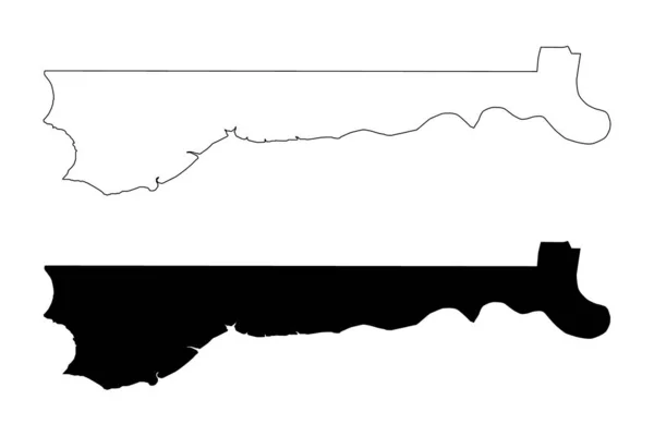
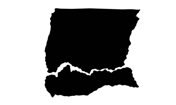
Stock vector Lofa county map, administrative division of Liberia. Vector illustration.
Published:
Dec.29, 2023 14:56:54
Author:
majborodinruslan1990.icloud.com
Views:
0
Downloads:
0
File type:
vector
/
eps
File size:
5.3 MB
Orginal size:
8334
x
8334
px
Available sizes:
S
(500 x 500)
M
(1000 x 1000)
L
(2000 x 2000)
XL
(8334 x 8334)
VECT
(8334 x 8334)
EL0
(8334 x 8334)
Level:
beginner
Download Vector
Vector topics:
Vector
Graphic
Illustration
Design
Isolated
Sign
Texture
Line
Silhouette
Border
Banner
Symbol
Icon
Contour
Simple
Drawing
Template
Detailed
Capital
Outline
Country
District
Map
Cartography
Geography
Area
National
State
Chart
Topography
Boundary
Political
Administrative
Department
Region
Division
Federal
Territory
Atlas
Province
County
Mapping
Liberia
Cut Out
River Gee
Similar stock vectors
Silhouette Of The Map Of New South Wale. Australia
5315 × 5315
Thematic Map Icon. Trendy Thematic Map Logo Concept On White Background From Maps And Locations Collection. Suitable For Use On Web Apps, Mobile Apps And Print Media.
6944 × 6944
Pennsylvania Silhouette Map
5000 × 3000
Delaware State Map With Counties. Vector Illustration.
8334 × 8334
Mato Grosso Map, State Of Brazil. Vector Illustration.
8334 × 8334
North Bank Division (Subdivisions Of The Gambia, Republic Of The Gambia) Map Vector Illustration, Scribble Sketch North Bank Region Map
7087 × 4726
Map Of The State Of The Country Of The Usa
4001 × 2547
Ziguinchor City Map Silhouette In Sinegal
5000 × 3000