photo free
Home Images Vectors Videos

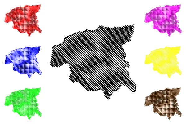
Stock vector London Borough of Brent (United Kingdom of Great Britain and Northern Ireland, Ceremonial county and region Greater London, England) map vector illustration, scribble sketch map
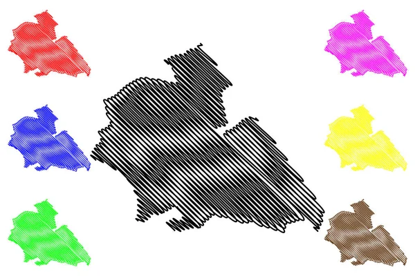
Stock vector London Borough of Brent (United Kingdom of Great Britain and Northern Ireland, Ceremonial county and region Greater London, England) map vector illustration, scribble sketch map
Published: Jun.12, 2023 15:39:17
Author: Danler
Views: 0
Downloads: 0
File type: vector / eps
File size: 1.36 MB
Orginal size: 7087 x 4726 px
Available sizes:
S
(500 x 333)
M
(1000 x 667)
L
(2000 x 1334)
XL
(7087 x 4726)
VECT
(7087 x 4726)
EL0
(7087 x 4726)
Level: bronze
Download Vector
Vector topics:

Similar stock vectors

stock vector Chlef Province (Provinces of Algeria, Peoples Democratic Republic of Algeria) map vector illustration, scribble sketch Chlef ma

Chlef Province (Provinces Of Algeria, Peoples Democratic Republic Of Algeria) Map Vector Illustration, Scribble Sketch Chlef Ma

7087 × 4726
stock vector Gotha district (Federal Republic of Germany, rural district, Free State of Thuringia) map vector illustration, scribble sketch Gotha map

Gotha District (Federal Republic Of Germany, Rural District, Free State Of Thuringia) Map Vector Illustration, Scribble Sketch Gotha Map

7087 × 4726
stock vector Upper Palatinate (Federal Republic of Germany, Administrative division, Region Free State of Bavaria) map vector illustration, scribble sketch Upper Palatinate map

Upper Palatinate (Federal Republic Of Germany, Administrative Division, Region Free State Of Bavaria) Map Vector Illustration, Scribble Sketch Upper Palatinate Map

7087 × 4726
stock vector Ouaka Prefecture (Prefectures of the Central African Republic, CAR) map vector illustration, scribble sketch Ouaka map

Ouaka Prefecture (Prefectures Of The Central African Republic, CAR) Map Vector Illustration, Scribble Sketch Ouaka Map

7087 × 4726
stock vector Monmouthshire map vecto

Monmouthshire Map Vecto

7087 × 4726
stock vector Balrampur district (Uttar Pradesh State, Republic of India) map vector illustration, scribble sketch Balrampur map

Balrampur District (Uttar Pradesh State, Republic Of India) Map Vector Illustration, Scribble Sketch Balrampur Map

7087 × 4726
stock vector Jogulamba Gadwal district (Telangana State, Republic of India) map vector illustration, scribble sketch Jogulamba Gadwal map

Jogulamba Gadwal District (Telangana State, Republic Of India) Map Vector Illustration, Scribble Sketch Jogulamba Gadwal Map

7087 × 4726
stock vector Bukhara Region map vecto

Bukhara Region Map Vecto

7087 × 4726