Home
Images
Vectors
Videos
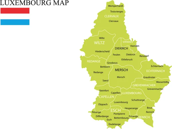
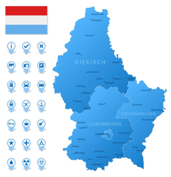
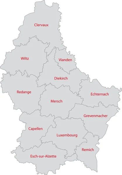
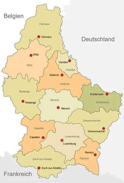
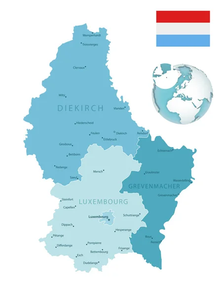
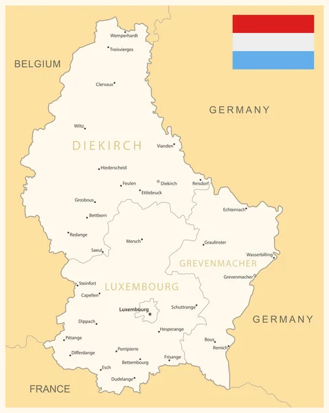
Stock vector Luxembourg administrative blue-green map with country flag and location on a globe. Vector illustration
Published:
Jul.03, 2020 07:57:07
Author:
gt29
Views:
10
Downloads:
0
File type:
vector
/
eps
File size:
18.16 MB
Orginal size:
5251
x
7052
px
Available sizes:
S
(372 x 500)
M
(745 x 1000)
L
(1489 x 2000)
XL
(5251 x 7052)
VECT
(5251 x 7052)
EL0
(5251 x 7052)
Level:
bronze
Download Vector
Vector topics:
Green
White
Blue
Vector
Background
Set
Business
Travel
Pattern
European
Border
Weather
Flag
3d
Icon
Earth
World
France
Tourism
Europe
Globe
Collection
Layout
Country
Map
Cartography
Geography
Continent
Germany
Separation
State
Political
Administrative
Marker
Belgium
Divisions
Hemisphere
Luxembourg
Blue Green
Provinces
Territories
Municipalities
Luxembourg Flag
Administrative Divisions
Luxembourg Map
Similar stock vectors
Luxembourg - Detailed Blue Country Map With Cities, Regions, Location On World Map And Globe. Infographic Icons. Vector Illustration
5835 × 6086
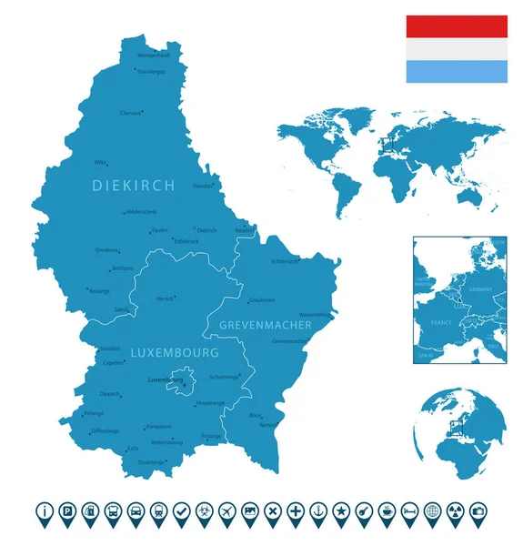
Luxembourg - Detailed Map With Administrative Divisions And Country Flag. Vector Illustration
5986 × 7486
Luxembourg Map Vector Illustration
3544 × 2671
Blue Map Of Luxembourg Administrative Divisions With Travel Infographic Icons. Vector Illustration
5172 × 5331
Luxembourg
4049 × 5800
Luxembourg Country - Luxembourg Vector Map
3401 × 5000
Belgium Map
6808 × 5563
Luxembourg Map
3713 × 4993