Home
Images
Vectors
Videos
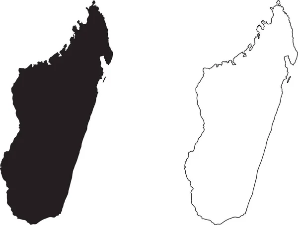
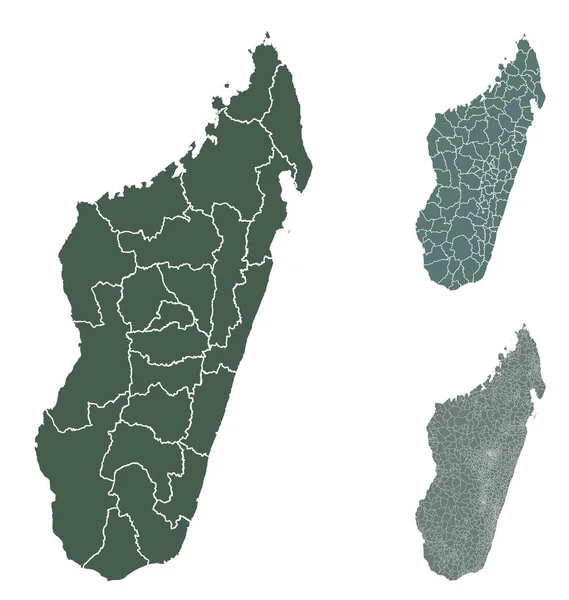
Stock vector Madagascar map outline vector with administrative borders, regions, municipalities, departments in black white colors. Infographic design template map.
Published:
May.07, 2020 10:03:13
Author:
Litteralis
Views:
41
Downloads:
2
File type:
vector
/
eps
File size:
71.12 MB
Orginal size:
4038
x
4256
px
Available sizes:
S
(474 x 500)
M
(949 x 1000)
L
(1898 x 2000)
XL
(4038 x 4256)
VECT
(4038 x 4256)
EL0
(4038 x 4256)
Level:
bronze
Download Vector
Vector topics:
Green
Color
Blue
Vector
Background
Graphic
Illustration
Design
Isolated
Shape
Line
Border
Symbol
Lines
Digital
Flat
Contour
Web
Detailed
Outline
Country
Map
Cartography
Geography
Area
National
Africa
Land
State
Boundary
Political
Administrative
Official
Territory
Nation
Divisions
Regional
Madagascar
Provinces
Regions
Departments
Municipalities
Infographic
White Background
Similar stock vectors
Yamdena Island (Republic Of Indonesia, South East Asia, Tanimbar Archipelago) Map Vector Illustration, Scribble Sketch Jamdena Map
7087 × 4726
North Korea Map. Black Silhouette Country Map Isolated On White Background. Black Outline On White Background. Vector File
12243 × 6464
Finland Map Country Icon
4520 × 4520
Yilan County Map Vecto
7087 × 4726
Finland Map Frame Icon
4510 × 4497
Finland Map, States Border Map. Vector Illustration.
4584 × 4167
Madagascar Map. Black Silhouette Country Map Isolated On White Background. Black Outline On White Background. Vector File EPS
10350 × 7846
Sweden Map With Regions On White Background
8000 × 7000