Home
Images
Vectors
Videos
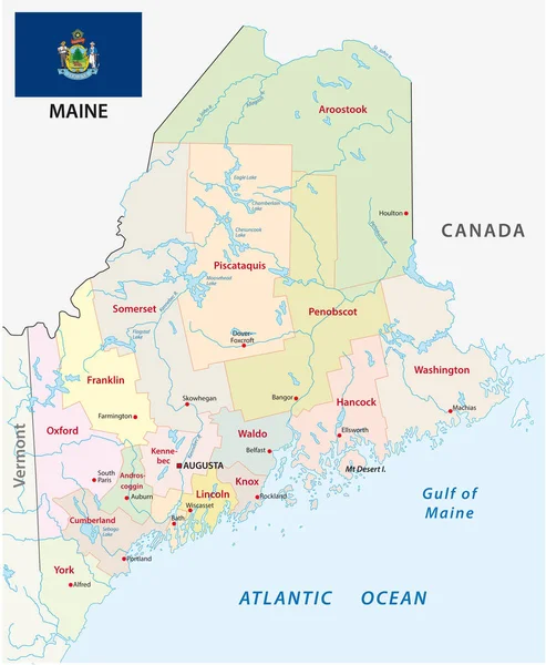
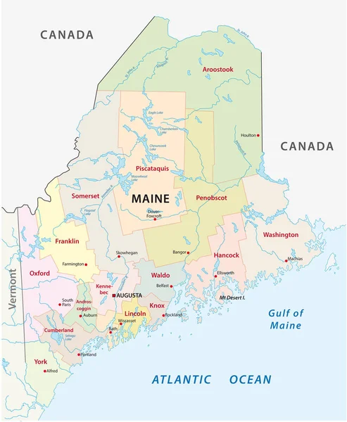
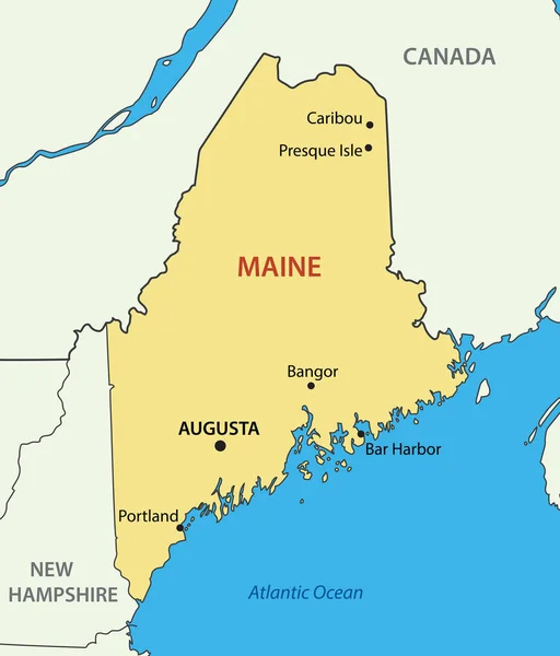
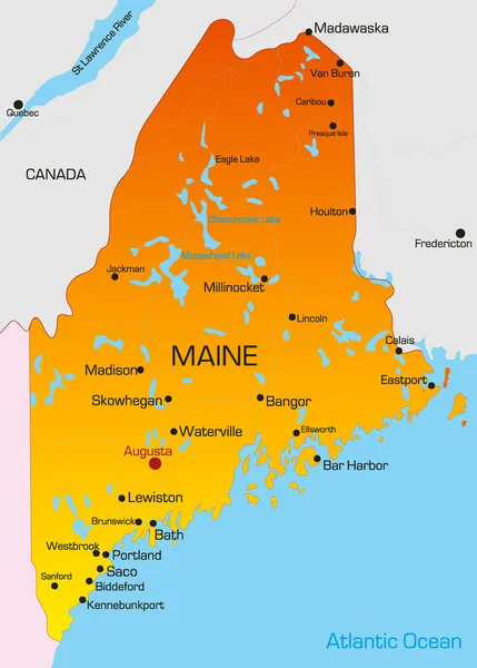
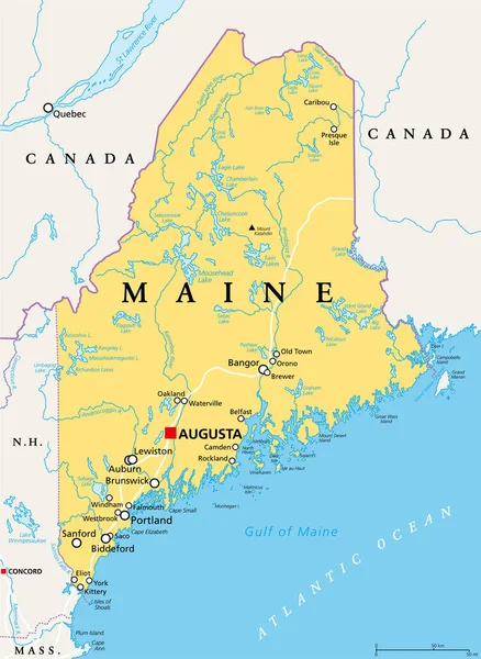
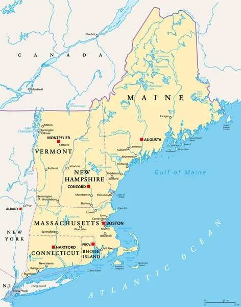
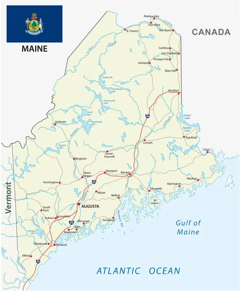
Stock vector maine road vector map with flag
Published:
Jan.02, 2018 11:57:28
Author:
Lesniewski
Views:
13
Downloads:
0
File type:
vector
/
eps
File size:
1.79 MB
Orginal size:
3100
x
3733
px
Available sizes:
S
(415 x 500)
M
(830 x 1000)
L
(1661 x 2000)
XL
(3100 x 3733)
VECT
(3100 x 3733)
EL0
(3100 x 3733)
Level:
bronze
Download Vector
Vector topics:
Color
White
Vector
Background
Colorful
Graphic
Illustration
Travel
Detail
Border
Flag
Road
Symbol
American
Usa
Ocean
Tourism
North
South
Navigation
Outline
West
Map
Cartography
Geography
National
Assistance
State
America
Boundary
Gulf
Canada
Atlantic
Community
United
Portland
Maine
Cities
Nation
Vermont
Mapping
Augusta
Similar stock vectors
Maine Road Vector Map
3100 × 3733
Maine Administrative And Political Vector Map With Flag
3100 × 3769
Maine Administrative And Political Vector Map
3100 × 3769
Maine - Vector - State Of USA
4869 × 5700
Maine, ME, Gray Political Map With Capital Augusta. Northernmost State In The United States Of America, And Located In The New England Region. The Pine Tree State. Vacationland. Illustration. Vector.
6000 × 8203
Maine
2650 × 3700
Maine, ME, Political Map With Capital Augusta. Northernmost State In The United States Of America, And Located In The New England Region. The Pine Tree State. Vacationland. Illustration. Vector.
6000 × 8208
New England Region Of The United States Of America, Political Map. Maine, Vermont, New Hampshire, Massachusetts, Rhode Island And Connecticut With Their Capitals And Borders. Illustration. Vector.
6000 × 7627