Home
Images
Vectors
Videos
Stock vector Mali - detailed country outline and location on world map. Vector illustration
Published:
Nov.17, 2021 11:36:28
Author:
gt29
Views:
0
Downloads:
0
File type:
vector
/
eps
File size:
3.04 MB
Orginal size:
8132
x
5001
px
Available sizes:
S
(500 x 307)
M
(1000 x 615)
L
(2000 x 1230)
XL
(8132 x 5001)
VECT
(8132 x 5001)
EL0
(8132 x 5001)
Level:
bronze
Download Vector
Vector topics:
White
Vector
Background
Business
Travel
Black
Border
Road
Gray
Contour
Earth
World
Tourism
Detailed
Highly
Layout
Outline
Country
Map
Cartography
Geography
Africa
Continent
Separation
State
Political
Printed
Marker
Provinces
Mali
Territories
Bamako
Municipalities
Black And White
Administrative Divisions
Mali Map
Similar stock vectors
Guatemala - Detailed Country Outline And Location On World Map. Vector Illustration
8058 × 5251
Mauritania - Detailed Country Outline And Location On World Map. Vector Illustration
7258 × 5001
Guatemala - Highly Detailed Black And White Map. Vector Illustration
8058 × 5251
Sudan - Detailed Country Outline And Location On World Map. Vector Illustration
5251 × 6504
Kittitas County, State Of Washington (U.S. County, United States Of America, USA, U.S., US) Map Vector Illustration, Scribble Sketch Kittitas Map
7087 × 4726
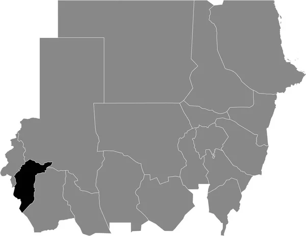
Black Highlighted Location Map Of The Sudanese East Darfur State Inside Gray Map Of The Republic Of Sudan
5405 × 4167
Black Highlighted Location Map Of The Sudanese Central Darfur State Inside Gray Map Of The Republic Of Sudan
5405 × 4167
Shape Of Moyen-Chari, Region Of Chad, With Its Capital Isolated On White Background. Bilevel Elevation Map. 3D Rendering
3836 × 3815