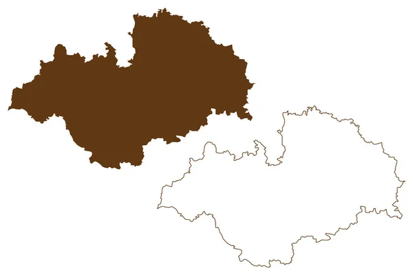
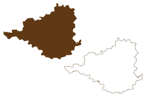
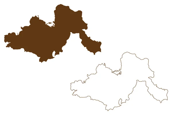
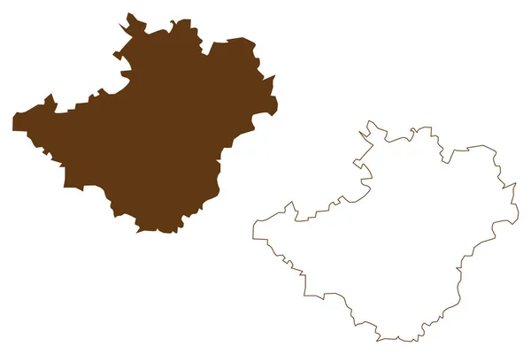
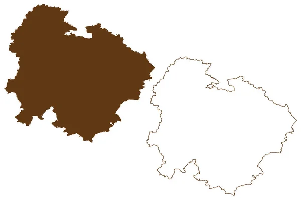
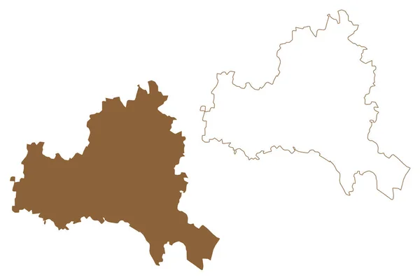
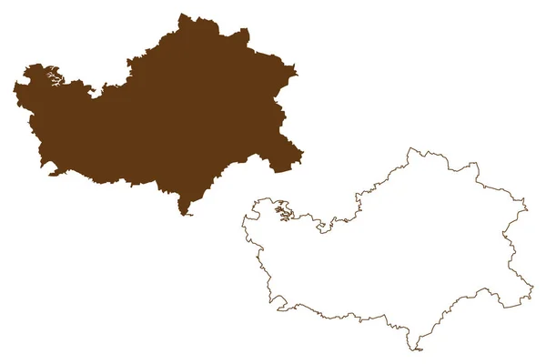
Stock vector Mansfeld-Sudharz district (Federal Republic of Germany, rural district, Free State of Saxony-Anhalt) map vector illustration, scribble sketch Mansfeld Suedharz map
Published: Jun.07, 2021 10:04:23
Author: Danler
Views: 0
Downloads: 0
File type: vector / eps
File size: 0.87 MB
Orginal size: 7087 x 4726 px
Available sizes:
Level: bronze