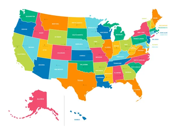
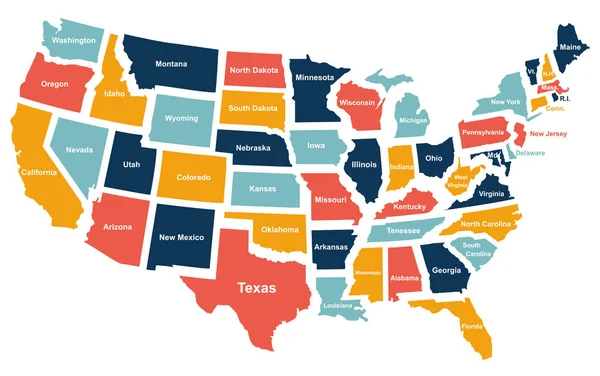
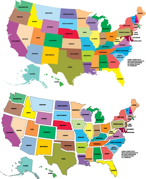
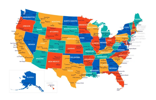
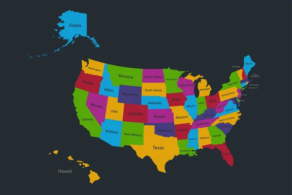
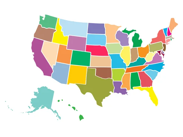
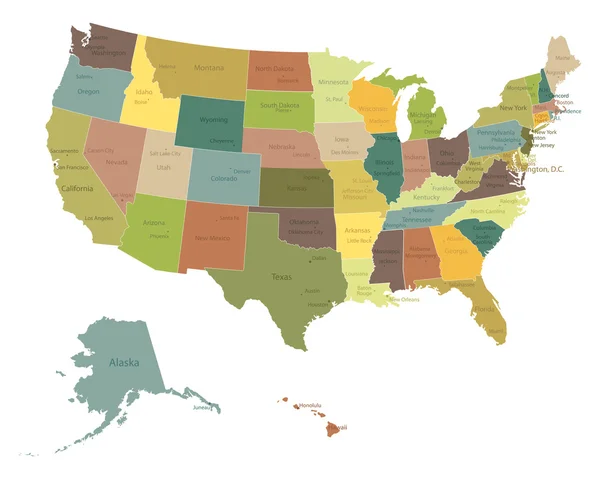
Stock vector Map of America. United States Political map. US blueprint with the titles of states and regions. All countries are named in the layer panel

Published: Nov.12, 2021 09:41:46
Author: arseniuk_oleksii
Views: 15
Downloads: 4
File type: vector / eps
File size: 2.06 MB
Orginal size: 8192 x 4690 px
Available sizes:
Level: bronze