Home
Images
Vectors
Videos
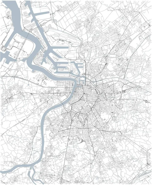
Stock vector Map of Antwerp, satellite view, black and white map. Street directory and city map. Belgium
Published:
Sep.24, 2018 06:21:45
Author:
vampy1
Views:
124
Downloads:
1
File type:
vector
/
eps
File size:
9.58 MB
Orginal size:
3937
x
4802
px
Available sizes:
S
(410 x 500)
M
(820 x 1000)
L
(1640 x 2000)
XL
(3937 x 4802)
VECT
(3937 x 4802)
EL0
(3937 x 4802)
Level:
silver
Download Vector
Vector topics:
Background
Design
Shape
Business
Travel
Silhouette
Old
City
Street
Earth
World
Tourism
Detailed
Cityscape
Capital
Skyline
Europe
Outline
Country
Map
Cartography
Geography
National
History
State
Tour
Location
Place
Political
Administrative
Region
Roads
Central
Streets
Belgium
Maps
Atlas
Nation
County
Divisions
Districts
Antwerp
Munster
Similar stock vectors
Vector City Map Of Paris With Well Organized Separated Layers.
5684 × 4021
Map Of The City Of Lviv, Lviv Oblast, Ukraine
3958 × 4600
Vector City Map Of London With Well Organized Separated Layers.
2968 × 2035
Map Of The City Of Porto, Portugal
4984 × 3732
Vector Map Of The City Of Richmond, Virginia, USA
5111 × 4939