Home
Images
Vectors
Videos
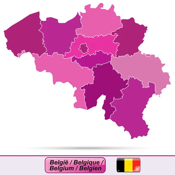
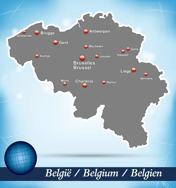
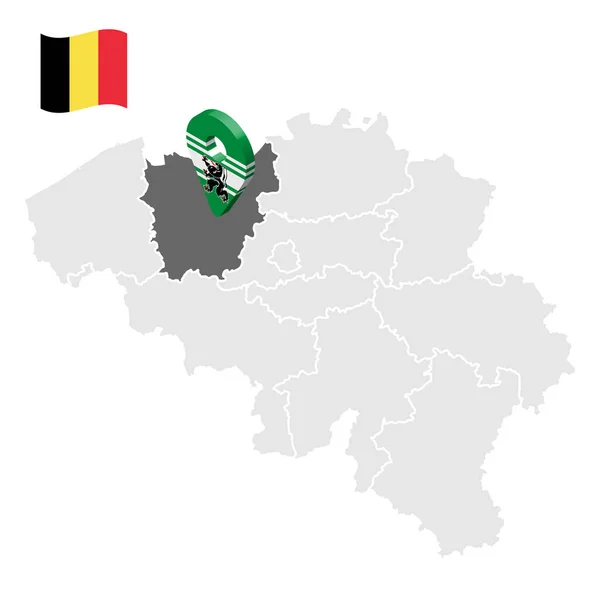
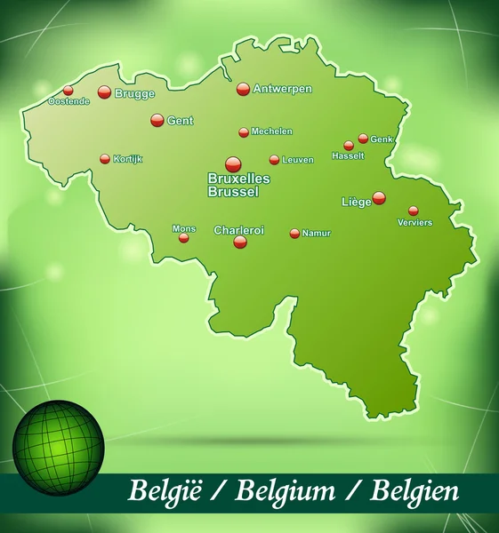
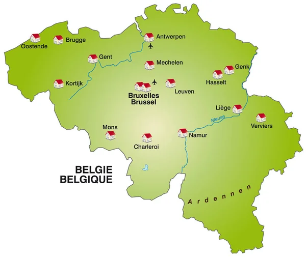
Stock vector Map of Belgium
Published:
Sep.10, 2014 14:27:09
Author:
artalis
Views:
138
Downloads:
0
File type:
vector
/
ai
File size:
0.15 MB
Orginal size:
4151
x
3853
px
Available sizes:
S
(500 x 464)
M
(1000 x 928)
L
(2000 x 1856)
XL
(4151 x 3853)
VECT
(4151 x 3853)
EL0
(4151 x 3853)
Level:
bronze
Download Vector
Vector topics:
Green
Illustration
Design
Card
With
Information
Web
Europe
In
Country
Site
Map
Cartography
Geography
Plan
National
Overview
General
Chart
Borders
Boundary
Of
Brussels
Belgium
Antwerp
Brugge
Liege
Leuven
Gent
Mons
Mechelen
Oostende
Charleroi
Namur
Kortrijk
Hasselt
Genk
Verviers
Similar stock vectors
Map Of Belgium
4023 × 4026
Map Of Belgium
3871 × 4132
3 Dimensional Infographics Political Map Of Belgium, With Every Province Easy Selectable And Editable In One Click. Content Labeled In Layers Panel.
6400 × 4800
Location Of East Flanders On Map Belgium. 3d Location Sign Similar To The Flag Of East Flanders. Quality Map With Provinces Of Belgium For Your Design. EPS10.
5000 × 5000
Map Of Belgium
4149 × 3856
Map Of Belgium
3871 × 4132
Belgium Map Artwork With National Colours Illustration
5906 × 5906
Map Of Belgium As Infographic In Green
4443 × 3740