Home
Images
Vectors
Videos
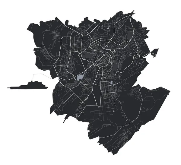
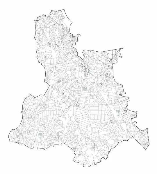
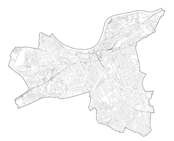
Stock vector Map of Brest, France. Detailed city vector map, metropolitan area. Black and white streetmap with roads and water.
Published:
Aug.09, 2024 11:33:09
Author:
Litteralis
Views:
0
Downloads:
0
File type:
vector
/
eps
File size:
5.37 MB
Orginal size:
4000
x
4250
px
Available sizes:
S
(471 x 500)
M
(941 x 1000)
L
(1882 x 2000)
XL
(4000 x 4250)
VECT
(4000 x 4250)
EL0
(4000 x 4250)
Level:
bronze
Download Vector
Vector topics:
White
Background
View
Graphic
Travel
Park
Water
Black
French
Landscape
City
Urban
Way
France
Tourism
Detailed
Skyline
Map
Cartography
Geography
Plan
Area
Tourist
Primary
Railway
Poster
Brest
Roads
Streets
Territory
Brittany
Secondary
Municipal
Metropolitan
Municipality
Printable
City Map
Street Map
Vector Map
Brest City
Brest Map
Map Of Brest
Similar stock vectors
Yerevan Vector Map. Detailed Vector Map Of Yerevan City Administrative Area. Cityscape Poster Metropolitan Aria View. Black Land With White Buildings, Water, Forest. White Background.
4383 × 4001
Satellite View Of The London Boroughs, Map And Streets Of Lewisham Borough. England
5747 × 6374
Ivano-Frankivsk City Map, Ukraine. Municipal Administrative Borders, Black And White Area Map With Rivers And Roads, Parks And Railways. Vector Illustration.
3909 × 4301
Map Of Metz, France. Detailed City Vector Map, Metropolitan Area. Black And White Streetmap With Roads And Water.
4000 × 4231
Map Of Dijon, France. Detailed City Vector Map, Metropolitan Area. Black And White Streetmap With Roads And Water.
4237 × 4000
Black Luton City Map, Detailed Administrative Area
4635 × 4145
Black Oldenburg City Map, Detailed Administrative Area
4001 × 4001
Satellite View Of The London Boroughs, Map And Streets Of Wandsworth Borough. England
7081 × 5737