Home
Images
Vectors
Videos
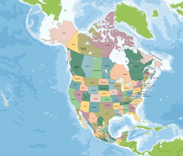
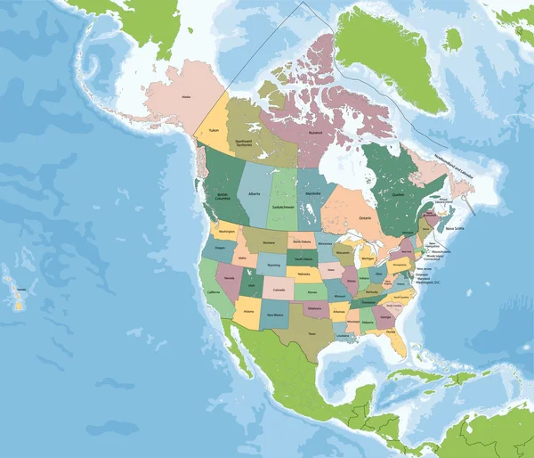
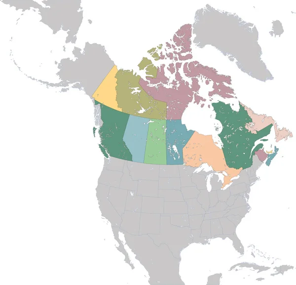
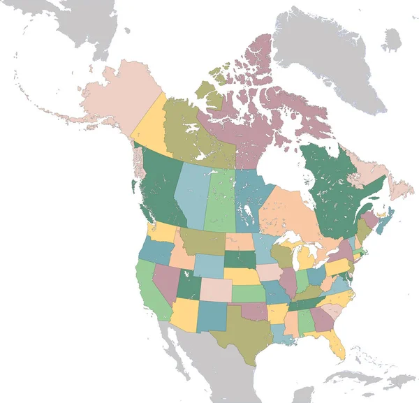
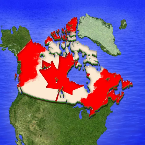
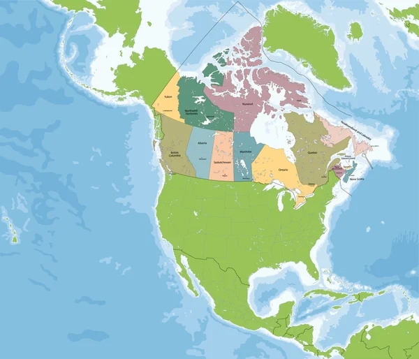
Stock vector Map of Canada
Published:
May.24, 2016 12:13:43
Author:
Volina
Views:
336
Downloads:
12
File type:
vector
/
eps
File size:
14.29 MB
Orginal size:
7002
x
6002
px
Available sizes:
S
(500 x 429)
M
(1000 x 857)
L
(2000 x 1714)
XL
(7002 x 6002)
VECT
(7002 x 6002)
EL0
(7002 x 6002)
Level:
silver
Download Vector
Vector topics:
Illustration
Line
Border
Symbol
Physical
American
Usa
District
Map
Cartography
Geography
Pacific
Continent
Land
Labrador
Continental
America
Canada
Atlantic
Depth
Caribbean
British
Territory
Mexico
Canadian
Atlas
Province
Americas
Nova
Northwest
Ontario
Columbia
Greenland
Quebec
Alberta
Edward
Yukon
Scotia
Newfoundland
Brunswick
Manitoba
Nunavut
Saskatchewan
Territories
Politically
Caribbean Sea
North America
Northern Hemisphere
Geographically
Arctic Ocean
Similar stock vectors
North America Map With USA, Canada And Mexico
7002 × 6002
North America Map With USA And Canada
7002 × 6002
Illustration Map Of Provinces And Territories Of Canada
5448 × 5247
North America Map With USA, Canada And Mexico
6161 × 6002
Canada In Red
5000 × 3750
North America Map With USA And Canada
5448 × 5247
North America With Canada On The Globe
7005 × 7005
3D Map Of Canada Painted In The Colors Of Canadian Flag. Illustration Of Stylized Jelly Pie
4000 × 4000